
 | ||
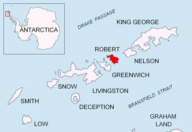
Bajo Nunatak is a conspicuous rocky peak rising to 210 m at the south edge of the ice cap of Robert Island in the South Shetland Islands, Antarctica. The nunatak surmounts Zahari Point to the southeast, Micalvi Cove to the east-southeast, and English Strait to the southwest.
Contents
The feature was charted and descriptively named by the Chilean Antarctic Expeditions in 1948-50.
Location
The nunatak is located at 62°26′52.3″S 59°32′25″W which is 1.9 km east by south of Beron Point, 2.69 km northwest of Edwards Point, 5.88 km north of Santa Cruz Point, Greenwich Island and 6.34 km northeast of Ash Point, Greenwich Island (Bulgarian mapping in 2005 and 2009).
Maps
References
Bajo Nunatak Wikipedia(Text) CC BY-SA