
Time zone Central (CST) (UTC-6) Elevation 338 m Zip code 50026 Local time Tuesday 4:30 AM | Incorporated June 12, 1950 FIPS code 19-04240 Area 80 ha Population 291 (2013) Area code 641 | |
 | ||
Weather 6°C, Wind E at 6 km/h, 86% Humidity | ||
Bagley is a city in Guthrie County, Iowa, United States. The population was 303 in the 2010 census, a decline from 354 in 2000 census. It is part of the Des Moines–West Des Moines Metropolitan Statistical Area.
Contents
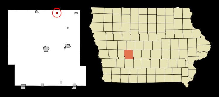
Map of Bagley, IA 50026, USA
History
Bagley had its start in the year 1881 by the building of the Chicago, Milwaukee & St. Paul railroad through that territory.
Geography
Bagley is located at 41°50′48″N 94°25′44″W (41.846675, −94.428814).
According to the United States Census Bureau, the city has a total area of 0.31 square miles (0.80 km2), all of it land.
2010 census
As of the census of 2010, there were 303 people, 123 households, and 81 families residing in the city. The population density was 977.4 inhabitants per square mile (377.4/km2). There were 147 housing units at an average density of 474.2 per square mile (183.1/km2). The racial makeup of the city was 93.4% White, 1.7% Native American, 0.3% Asian, 2.3% from other races, and 2.3% from two or more races. Hispanic or Latino of any race were 7.3% of the population.
There were 123 households of which 28.5% had children under the age of 18 living with them, 51.2% were married couples living together, 7.3% had a female householder with no husband present, 7.3% had a male householder with no wife present, and 34.1% were non-families. 29.3% of all households were made up of individuals and 9.8% had someone living alone who was 65 years of age or older. The average household size was 2.46 and the average family size was 2.99.
The median age in the city was 41.4 years. 25.4% of residents were under the age of 18; 9% were between the ages of 18 and 24; 21.1% were from 25 to 44; 29.5% were from 45 to 64; and 15.2% were 65 years of age or older. The gender makeup of the city was 53.1% male and 46.9% female.
2000 census
As of the census of 2000, there were 354 people, 144 households, and 96 families residing in the city. The population density was 1,158.2 people per square mile (440.9/km²). There were 157 housing units at an average density of 513.6 per square mile (195.5/km²). The racial makeup of the city was 96.89% White, 0.28% African American, 2.26% from other races, and 0.56% from two or more races. Hispanic or Latino of any race were 5.93% of the population.
There were 144 households out of which 29.9% had children under the age of 18 living with them, 51.4% were married couples living together, 9.7% had a female householder with no husband present, and 33.3% were non-families. 30.6% of all households were made up of individuals and 16.7% had someone living alone who was 65 years of age or older. The average household size was 2.46 and the average family size was 3.01.
In the city, the population was spread out with 27.1% under the age of 18, 9.6% from 18 to 24, 26.3% from 25 to 44, 19.2% from 45 to 64, and 17.8% who were 65 years of age or older. The median age was 37 years. For every 100 females there were 87.3 males. For every 100 females age 18 and over, there were 84.3 males.
The median income for a household in the city was $29,219, and the median income for a family was $38,036. Males had a median income of $26,875 versus $16,429 for females. The per capita income for the city was $13,754. About 9.7% of families and 16.1% of the population were below the poverty line, including 14.1% of those under age 18 and 9.8% of those age 65 or over.
Government
Greg Irving was elected mayor in 2015 and will serve until 2019.