
District Çamardı Postal code 51670 Elevation 1,640 m Population 1,976 (2011) | Time zone EET (UTC+2) Area code 0-388 Local time Tuesday 8:11 AM | |
 | ||
Weather 1°C, Wind SE at 6 km/h, 56% Humidity | ||
Bademdere kasabas 2016hd
Bademdere is a belde (town) in Niğde Province, Turkey
Contents
- Bademdere kasabas 2016hd
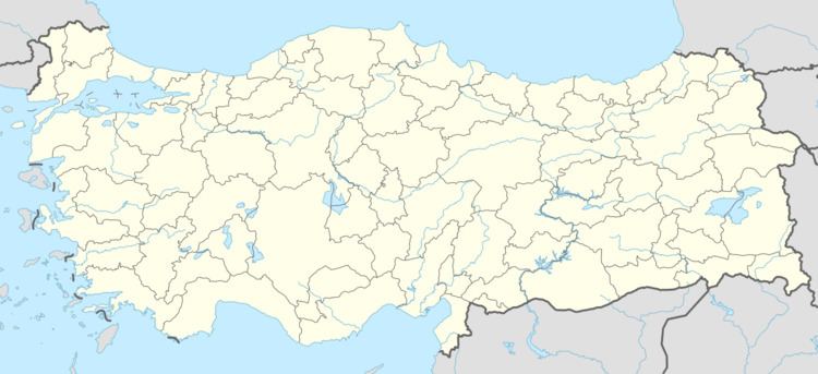
- Map of Bademdere 51660 Bademdere KC3B6yC3BC2FC387amardC4B12FNiC49Fde Turkey
- 20150905 171328 nevzat ya ar ve ekibi bademdere mehmet elin d n
- Geography
- History
- Economy
- References
Map of Bademdere, 51660 Bademdere K%C3%B6y%C3%BC%2F%C3%87amard%C4%B1%2FNi%C4%9Fde, Turkey
20150905 171328 nevzat ya ar ve ekibi bademdere mehmet elin d n
Geography
Bademdere is in the rural area of Çamardı district which is a part of Niğde Province. The distance to Çamardı is 16 km (9.9 mi) and to Niğde is 54 km (34 mi). The town is on the northern slopes of Taurus Mountains with an average altitude of 1,640 m (5,380 ft) The population of the town is 1,976 as of 2011.
History
The settlement had been established in the 18th century by the miners from Gümüşhane Province in the Black Sea region, who came to work in the various mines (lead, zinc and lignite) in Taurus Mountains. Later, agriculture replaced mining and they began producing fruits. In 1972, the settlement was declared township.
Economy
The main economic activity is agriculture. Apple is the most pronounced crop. Potatoes and almonds are also produced. In fact, the name of the town means literally "almond creek". Demirkazık, one of the peaks of Taurus Mountains (3,756 m (12,323 ft)) is just at the east of the town and mountaineering-based tourism also seems promising.