
Time zone CET (UTC+1) Area codes 02857, 02816, 02815 Area 82.4 km² Local time Tuesday 12:30 AM | Postal codes 3972, 3973, 3922 Elevation 714 m Population 1,433 (1 Apr 2009) District Gmünd District | |
 | ||
Website www.bad-grosspertholz.gv.at Weather 4°C, Wind S at 6 km/h, 63% Humidity | ||
Trachtenkapelle bad gro pertholz marschmusikwertung 13 06 2015 in gm nd n
Bad Großpertholz is a town in the district of Gmünd in the Austrian state of Lower Austria.
Contents
- Trachtenkapelle bad gro pertholz marschmusikwertung 13 06 2015 in gm nd n
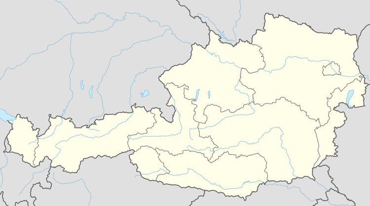
- Map of 3972 Bad GroC39Fpertholz Austria
- Harmanschlag steinbach bad gro pertholz scheiben reichenau am freiwald sterreich 29 4 2014
- Geography
- References
Map of 3972 Bad Gro%C3%9Fpertholz, Austria
Harmanschlag steinbach bad gro pertholz scheiben reichenau am freiwald sterreich 29 4 2014
Geography
Bad Großpertholz lies in the northwest Waldviertel in Lower Austria on the Czech border. About 76.39 percent of the municipality is forested.
References
Bad Großpertholz Wikipedia(Text) CC BY-SA