
District Başakşehir Postal code 34488-34494 Area code 0212 | Region Marmara Time zone FET (UTC+3) Elevation 70 m | |
 | ||
Named for Private residents with the same name placed in the district | ||
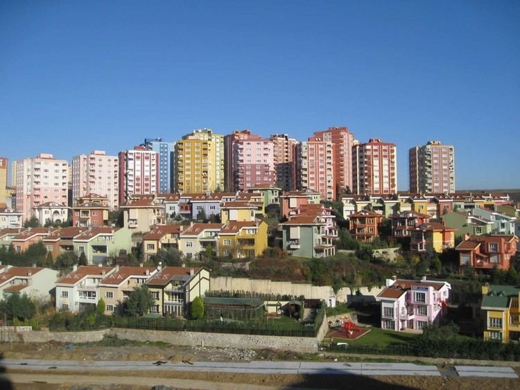
Başakşehir is one of the 39 second-level districts in Greater Istanbul, Turkey. The population of Başakşehir is 311,095 as of 2012. It is in the European part of Istanbul.
Contents
Map of Ba%C5%9Fak%C5%9Fehir, Turkey
Geography
Başakşehir is situated in the European portion (Rumeli) of İstanbul at 41°05′N 28°49′E. Sazlıdere Dam reservoir is to the northwest and Sea of Marmara is to the south. It is surrounded by other second-level districts of Istanbul, such as Eyüp, Sultangazi, Esenler, Bağcılar, Küçükçekmece, Avcılar, Esenyurt and Arnavutköy. (Istanbul is one of the 30 metropolitan centers in Turkey with more than one municipality within city borders.)
The Europe Motorway () starts at Mahmutbey in Başakşehir, and runs through the district in west direction to Edirne.
History
Former name of the area was Azatlık. The area specialized in providing gunpowder to the Ottoman army. Later a farm was established in place of Azatlık; the farm was known as Resneli farm referring to Resneli Niyazi, a military officer from Resen, Macedonia (then a part of Ottoman Empire), who was a hero of Young Turk Revolution in 1908. Up to 2009 most of Başakşehir was a quarter in Küçükçekmece district. Then it was declared a district seat.