
Population (2010) 142 Area 7.96 km² | Canton Santa-Maria-Siché Time zone CET (UTC+1) Local time Saturday 9:41 AM | |
 | ||
Weather 11°C, Wind SW at 23 km/h, 86% Humidity | ||
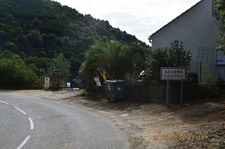
Azilone-Ampaza (Azilonu è Àmpaza in Corsican: pronounced [a.d͡zi.ˈlɔ̃.nɛ ˈɑ̃ɱ.pa.d͡za]) is a French commune in the Corse-du-Sud department of France on the island of Corsica.
Contents
- Map of 20190 Azilone Ampaza France
- Geography
- History
- Administration
- Demography
- Religious heritage
- Notable people linked to the commune
- References
Map of 20190 Azilone-Ampaza, France
Geography
Azilone-Ampaza is located in the Panicale Valley in the Middle Taravo region some 22 km east by south-east of Ajaccio and 4 km east of Grosseto-Prugna. The D83 road from Santa-Maria-Siché to Zévaco passes through the northern tip of the commune but has no connection to the village. Access to the village is by road D26 from Olivese in the south-east which enters the commune from the south, passing through the village, then loops south again to join the Route nationale N196 south-west of the commune. Apart from the main village there are the hamlets of Ampaza in the north-west and Azilone south of the village. The commune is rugged and heavily forested.
History
Both villages originated from the hamlet of Calcinaghju which was in the middle of the valley and destroyed by the Moors. Under the Paolinu and Genovese administrative systems, the commune belonged to the Pieve of Ornano. The town is now mainly known for being a high point on the Tour de Corse, an event that counts for the World Rally Championship (WRC).
Administration
List of Successive Mayors
(Not all data is known)
Demography
In 2010 the commune had 142 inhabitants. The evolution of the number of inhabitants is known from the population censuses conducted in the commune since 1793. From the 21st century, a census of communes with fewer than 10,000 inhabitants is held every five years, unlike larger communes that have a sample survey every year.
Sources : Ldh/EHESS/Cassini until 1962, INSEE database from 1968 (population without double counting and municipal population from 2006)