
- location south of Carsonville | - elevation 498 m (1,634 ft) - elevation 86 m (282 ft) | |
 | ||
Source Barrington Tops National Park | ||
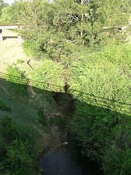
Avon River, a perennial stream of the Manning River catchment, is located in the Upper Hunter region of New South Wales, Australia.
Contents
Map of Avon River, Gloucester NSW, Australia
Course and featuresEdit
Avon River rises in the northern foothills of the Barrington Tops, south of Carsonville, and flows generally north-east, joined by five minor tributaries, before reaching its confluence with the Gloucester River, near Gloucester, south of the confluence of the Gloucester River with the Barrington River. The river descends 412 metres (1,352 ft) over its 42 kilometres (26 mi) course.
The catchment area of the river benefits from melting snow in spring. Gloucester district, although incredibly hot in the main summer months, nevertheless has an annual rainfall averaging 1,300 millimetres (51 in). As a result, combined with the merging streams and rivers, periodic serious flooding occurs in the Avon Valley at Gloucester, sometimes cutting all transport links.
The Gloucester River eventually flows into the Manning River, a major waterway which flows into the Tasman Sea through a minor delta east of Taree.
In 2004, assessments of water sampling done in 1997 by the NSW Environment Protection Authority, revealed poor water quality, with high levels of nutrients leading to excess algae. Along the river, downstream from Stratford, bank erosion and the invasion by exotic plant species have degraded the river.