
Country United States GNIS feature ID 0469012 Area 95.8 km² Population 161 (2010) | Time zone CST (UTC-6) Elevation 389 m Local time Tuesday 2:03 PM | |
 | ||
ZIP codes 50420, 50452, 50457, 50479 Weather 13°C, Wind N at 26 km/h, 59% Humidity | ||
Wisner Township is one of sixteen townships in Franklin County, Iowa, United States. As of the 2010 census, its population was 161 and it contained 85 housing units.
Contents
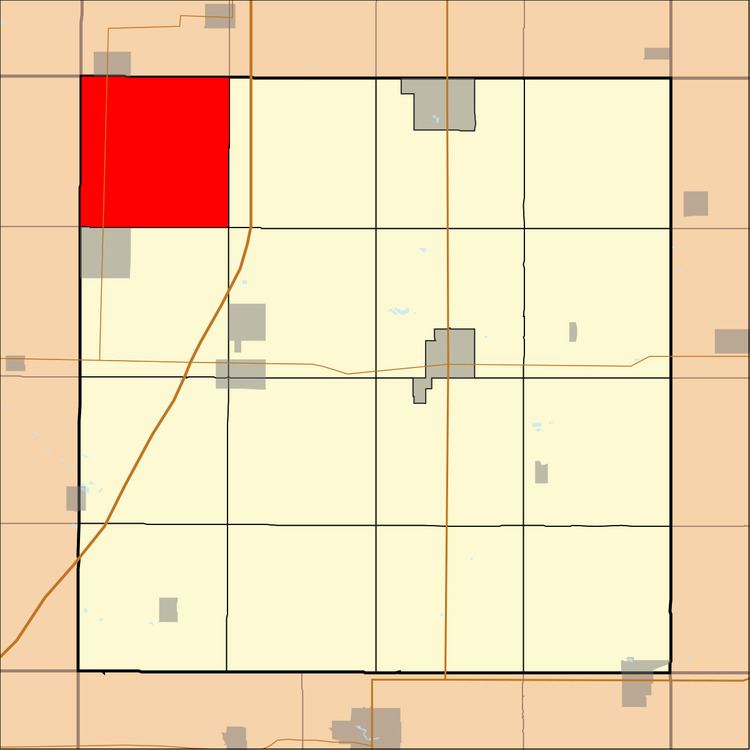
- Map of Wisner IA USA
- History
- Geography
- Cemeteries
- Transportation
- School districts
- Political districts
- References
Map of Wisner, IA, USA
History
Wisner Township was created in 1882.
Geography
As of the 2010 census, Wisner Township covered an area of 37 square miles (96 km2), all land.
Cemeteries
The township contains Holland Cemetery and Meservey Cemetery.
Transportation
School districts
Political districts
References
Wisner Township, Franklin County, Iowa Wikipedia(Text) CC BY-SA