
Department Aisne Area 6.78 km² | Population (2010) 187 Local time Friday 8:02 AM | |
 | ||
Weather 4°C, Wind SE at 14 km/h, 84% Humidity | ||
Autreppes is a French commune in the department of Aisne in the Hauts-de-France region of northern France and in the natural region of Thiérache.
Contents
- Map of 02580 Autreppes France
- Geography
- History
- Administration
- Demography
- Civil heritage
- Religious heritage
- Notable people linked to the commune
- References
Map of 02580 Autreppes, France
Geography
Autreppes is located some 35 km east by north east of Saint-Quentin and 15 km west of Hirson. It can be accessed by the D31 road running from Saint-Algis in the west through the heart of the commune and the village and continuing east to Etreaupont. There are also many country roads covering the commune and accessing it from all directions. The commune consists entirely of farmland.
The Oise river traverses the northern part of the commune from east to west. Only one stream flows into it from the north in the commune.
History
The area was called Altripia in 876. Autreppes was part of the former royal estate given to the Abbey of Saint-Denis in 915. Then the village of Autreppes became a lordship until the French Revolution. In 1790 the commune was part of the Canton of Marly in the district of Vervins but in 1801 became part of the Canton of Vervins in the Arrondissement of Vervins.
Administration
List of Successive Mayors of Autreppes
(Not all data is known)
Demography
In 2010 the commune had 187 inhabitants. The evolution of the number of inhabitants is known through the population censuses conducted in the town since 1793. From the 21st century, a census of municipalities with fewer than 10,000 inhabitants is held every five years, unlike larger towns that have a sample survey every year.
Sources : Ldh/EHESS/Cassini until 1962, INSEE database from 1968 (population without double counting and municipal population from 2006)
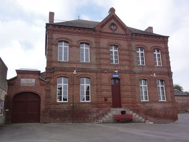
Civil heritage
The commune has a number of buildings and structures that are registered as historical monuments:
Religious heritage
The commune has two religious buildings that are registered as historical monuments: