
- land 36.4 sq mi (94 km) Area 94.28 km² Area code 716 | - summer (DST) EDT (UTC-4) Zip code 14052 University Christ the King Seminary | |
 | ||
- water 0.05 sq mi (0 km), 0.14% Weather -4°C, Wind W at 29 km/h, 69% Humidity | ||
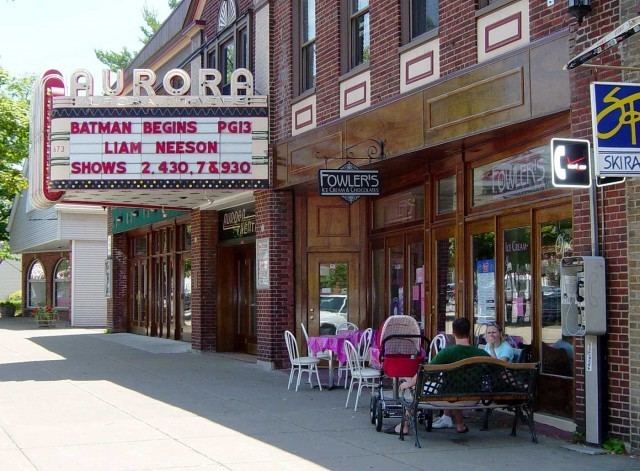
Aurora is a town in Erie County, New York, United States. The population was 13,782 at the 2010 census. It is one of the "Southtowns" of Erie County and is also erroneously called "East Aurora", the name of its principal village. The town is centrally located in the county, southeast of Buffalo.
Contents
- Map of Aurora NY USA
- History
- Notable residents
- Geography
- Demographics
- Communities and locations in Aurora
- References
Map of Aurora, NY, USA
Christ the King Seminary is located in the north part of the town.
History
The town was created in 1818 from the (now defunct) town of Willink, which once contained all the southern part of Erie County. By a close vote, citizens voted to change the name to "Aurora" in a display of their growing dissatisfaction with the Holland Land Company and its stockholders, which included Willem Willink.
Notable residents
Geography
According to the United States Census Bureau, the town has a total area of 36.4 square miles (94.4 km2), of which 36.4 square miles (94.3 km2) is land and 0.04 square miles (0.1 km2), or 0.13%, is water.
New York State Route 240 is a major route through the southwest part of the town.
Demographics
As of the census of 2000, there were 13,996 people, 5,421 households, and 3,859 families residing in the town. The population density was 384.6 people per square mile (148.5/km²). There were 5,686 housing units at an average density of 156.2 per square mile (60.3/km²). The racial makeup of the town was 98.83% White, 0.18% African American, 0.04% Native American, 0.36% Asian, 0.01% Pacific Islander, 0.11% from other races, and 0.47% from two or more races. Hispanic or Latino of any race were 0.59% of the population.
There were 5,421 households out of which 33.4% had children under the age of 18 living with them, 61.2% were married couples living together, 7.2% had a female householder with no husband present, and 28.8% were non-families. 25.8% of all households were made up of individuals and 11.9% had someone living alone who was 65 years of age or older. The average household size was 2.51 and the average family size was 3.03.
In the town, the population was spread out with 25.4% under the age of 18, 5.1% from 18 to 24, 27.0% from 25 to 44, 25.7% from 45 to 64, and 16.8% who were 65 years of age or older. The median age was 41 years. For every 100 females there were 93.7 males. For every 100 females age 18 and over, there were 90.1 males.
The median income for a household in the town was $51,939, and the median income for a family was $63,550. Males had a median income of $46,269 versus $30,000 for females. The per capita income for the town was $24,530. About 2.2% of families and 3.6% of the population were below the poverty line, including 3.3% of those under age 18 and 2.9% of those age 65 or over.