
Time zone CET (UTC+1) Local time Thursday 1:17 PM | Elevation 846 m (2,776 ft) Postal code 6370 Population 1,163 (1 Apr 2009) | |
 | ||
Weather 4°C, Wind N at 10 km/h, 78% Humidity Points of interest Wildpark Aurach, Gamshag, Sonnspitze | ||
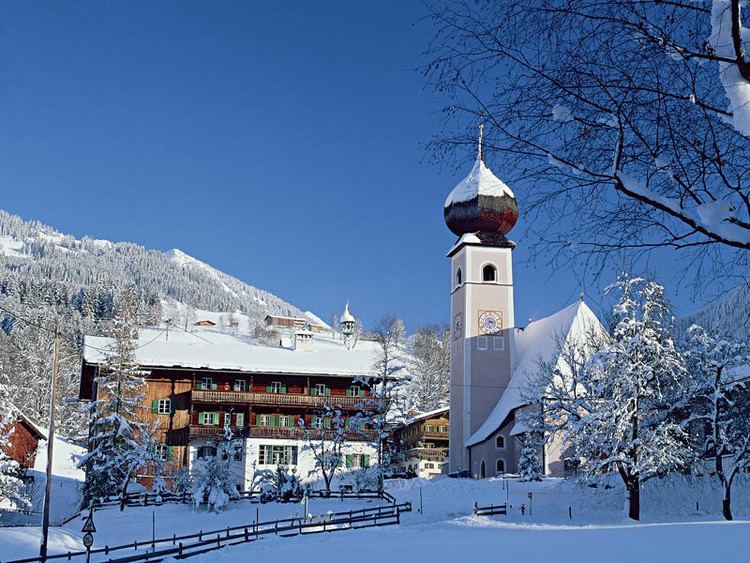
Aurach bei Kitzbühel is a municipality in Kitzbühel District in the Kitzbühel Alps in the Austrian state of Tyrol.
Contents
Map of Gemeinde Aurach bei Kitzb%C3%BChel, Austria
Aurauch is located 5 km south of district town of Kitzbühel on the river known as the Kitzbühler Ache and the road to Thurn Pass. The municipality is further divided into Unteraurach, Oberaurach and several scattered settlements and hamlets including Haberberg, Haselwand, Kochau, Sonnberg and Wiesenegg-Grüntal. It was mentioned for the first time in documents in 1289 s Orwiorwe. Formerly a part of Kitzbühel district, Aurach became an independent municipality in 1833. It has 1171 inhabitants (as at 1 Jan 2010).
Of historical significance is the former mine in the area of the Kelchalm.
Aurach has a wildlife park, situated at a height of 1,100 metres, which is home to typical Alpine animals such as red deer, ibex, mouflon, wild boar and lynx, as well as animals from other mountainous regions, including fallow deer, sika deer, llama and yak.
Neighbouring municipalities
Fieberbrunn, Jochberg, Kitzbühel
in the state of Salzburg: Saalbach-Hinterglemm