
Intercommunality Castillonnais Area 9.84 km² | Region Occitanie Population (2010) 64 Local time Wednesday 8:22 PM | |
 | ||
Weather 8°C, Wind SW at 5 km/h, 75% Humidity | ||
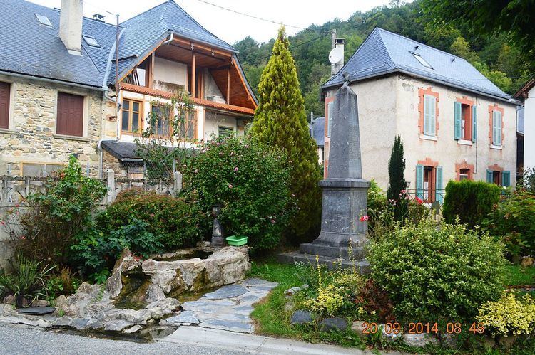
Augirein is a French commune in the Ariège department in the Occitanie region of south-western France.
Contents
Map of 09800 Augirein, France
The inhabitants of the commune are known as Augirenois or Augirenoises.
Geography
Augirein is located in the former province of Couserans some 30 km south-east of Saint-Gaudens and 25 km west by south-west of Saint-Girons. Access to the commune is by road D618 from Saint-Lary in the west which passes through the north of the commune and the village and continues east to Orgibet. Just east of the village is the hamlet of Terrefete. The commune is almost all rugged and heavily forested except for a small area in the north where the village is.
The Bouigane river flows through the north of the commune from west to east and continues to join the Lez at Audressein. The Ruisseau de Nede rises south of the commune and flows through the centre from south to north to join the Bouigane on the north-eastern border of the commune. Several tributaries rise in the commune and join the Ruisseau de Nede including the Ruisseau de Couledoux and the Ruisseau des Souls.
Administration
List of Successive Mayors
(Not all data is known)
Demography
In 2010 the commune had 64 inhabitants. The evolution of the number of inhabitants is known from the population censuses conducted in the commune since 1793. From the 21st century, a census of communes with fewer than 10,000 inhabitants is held every five years, unlike larger towns that have a sample survey every year.
Sources : Ldh/EHESS/Cassini until 1962, INSEE database from 1968 (population without double counting and municipal population from 2006)
Sites and monuments
The Church contains a Chalice (19th century) which is registered as a historical object.