
Canton Castillon-en-Couserans Area 33.91 km² Population 136 (1999) | Region Occitanie Intercommunality Castillonnais Local time Tuesday 10:22 PM | |
 | ||
Weather 9°C, Wind S at 3 km/h, 69% Humidity | ||
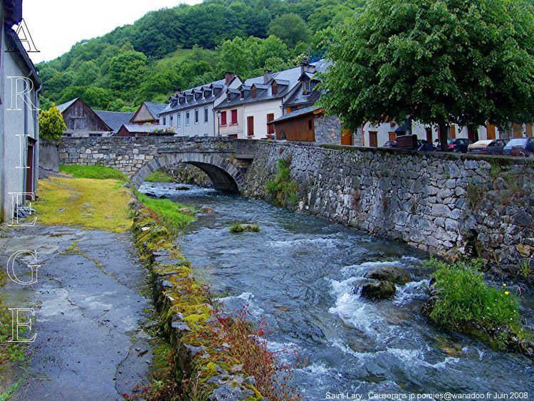
Saint-Lary is a commune in the Ariège department in southwestern France.
Contents
Map of 09800 Saint-Lary, France
It is located on the former Route nationale 618, the "Route of the Pyrenees".
Population
Inhabitants of Saint-Lary are called Saint-Hilariens.
References
Saint-Lary, Ariège Wikipedia(Text) CC BY-SA