
Country France Intercommunality Artois Area 6 km² Local time Wednesday 10:45 AM Team CS Pogoń Auchel | Canton Auchel Time zone CET (UTC+1) Population 11,392 (1999) | |
 | ||
Weather 8°C, Wind SW at 24 km/h, 79% Humidity | ||
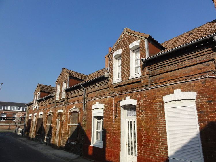
Auchel (Picard: Auchez) is a commune in the Pas-de-Calais department in the Hauts-de-France region in northern France.
Contents
- Map of 62260 Auchel France
- Geography
- History
- Population
- Sights
- International relations
- Personalities
- References
Map of 62260 Auchel, France
Geography
An ex-mining town, nowadays a light industrial & farming commune, situated 8 miles (12.9 km) southwest of Béthune and 34 miles (54.7 km) southwest of Lille, at the junction of the D183 and the D183E roads.
History
Following the discovery of coal deposits in the area in 1851, the town grew as the demand for coal increased in France. This old mining town had close to 15,000 inhabitants in the 1950s.
The coal recession in the late 1960s lead to a constant decline in population, despite the efforts of the municipality to attract and keep people here during and after the recession.
Population
The inhabitants are called Auchellois.
Sights
International relations
Auchel is twinned with:
Personalities
Auchel is the birthplace of: