
Topo map USGS Aubrey Peak Elevation 1,548 m | Age of rock 1.7–1.4 mya Easiest route Hike (1 mile) Prominence 262 m | |
 | ||
Similar Hualapai Mountains, Mount Tipton, Boundary Cone, Harcuvar Mountains | ||
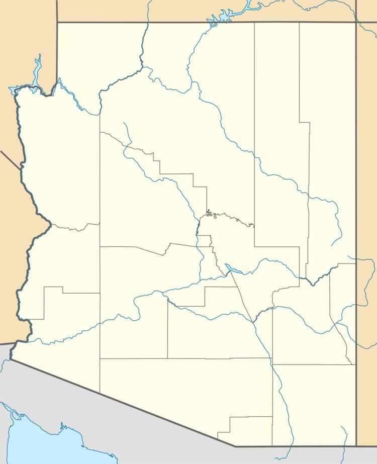
Aubrey Peak, also known as Grooms Peak, is a summit located slightly northwest of Lake Havasu City in Mohave County, Arizona and is in the Hualapai Mountains.
Map of Aubrey Peak, Arizona 85360, USA
The peak can approached from the town of Wikieup on U.S. Route 93 by way of Chicken Spring Road which ascends to a saddle on the mountains northwest flank.
The Aubrey Peak is profiled in Hiking Arizona's Geology, as Hike 29, Aubrey Peak Road.
References
Aubrey Peak (Hualapai Mountains) Wikipedia(Text) CC BY-SA