
Canton Garlin Area 3.78 km² | Local time Wednesday 10:09 AM | |
 | ||
Weather 9°C, Wind S at 11 km/h, 62% Humidity | ||
Aubous is a French commune in the Pyrénées-Atlantiques department in the Nouvelle-Aquitaine region of south-western France.
Contents
- Map of 64330 Aubous France
- Geography
- Toponymy
- History
- Administration
- Inter communality
- Demography
- Economy
- Civil heritage
- Religious heritage
- References
Map of 64330 Aubous, France
Geography
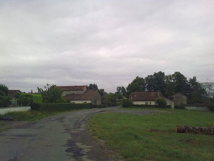
Aubous is located in the extreme north-east of the department with the northern border of the commune being the border between Pyrénées-Atlantiques and Gers. The commune is about 50 km south-east of Mont-de-Marsan and 50 km north by north-east of Pau. Access to the commune is by the D292 road from Arrosès in the south which passes through the centre of the commune and the village and continues north to join the D22 just north of the commune. The D317 from Aydie in the south-east passes through the western area of the commune before continuing south-west to join the D205. The commune is mixed forest and farmland.
The Larcis river forms the western border of the commune as it flows north-west to join the Léez north-west of Ségos. The Boutigue forms the north-eastern border as it flows east to join the Sager east of the commune.
Toponymy
The commune name in béarnais is Aubons. Michel Grosclaude proposed an etymology from the Latin man's name Albus with the suffix -ones, the whole meaning "Domain of Albus".
The following table details the origins of the commune name.
Sources:
Origins:
History
Paul Raymond said, on page 16 of the 1863 dictionary, that in 1385 Aubous had 4 fires and depended on the bailiwick of Lembeye.
Administration
List of Successive Mayors
(Not all data is known)
Inter-communality
The commune is part of five inter-communal structures:
Demography
In 2010 the commune had 51 inhabitants. The evolution of the number of inhabitants is known from the population censuses conducted in the commune since 1793. From the 21st century, a census of communes with fewer than 10,000 inhabitants is held every five years, unlike larger towns that have a sample survey every year.
Sources : Ldh/EHESS/Cassini until 1962, INSEE database from 1968 (population without double counting and municipal population from 2006)
Economy
The commune is part of the appellation d'origine contrôlée (AOC) zones of Madiran, Pacherenc-du-vic-bilh, and Béarn.
Civil heritage
The commune has many buildings and structures that are registered as historical monuments:
Religious heritage
The commune has two religious buildings and structures that are registered as historical monuments:
The Church contains many items that are registered as historical objects: