
Department Aisne Intercommunality Pays du Vermandois Area 211 ha | Population (2012) 298 Local time Wednesday 9:54 AM | |
 | ||
Weather 6°C, Wind SW at 24 km/h, 92% Humidity | ||
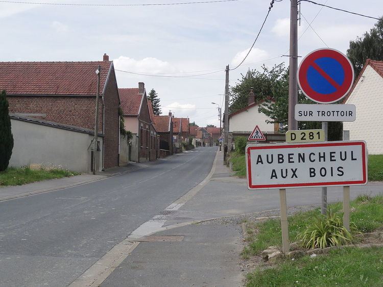
Aubencheul-aux-Bois is a French commune in the department of Aisne in the Hauts-de-France region of northern France.
Contents
- Map of 02420 Aubencheul aux Bois France
- Geography
- History
- Administration
- Demography
- Sites and Monuments
- References
Map of 02420 Aubencheul-aux-Bois, France
The inhabitants of the commune are known as Aubencheulois or Aubencheuloises
Geography
Aubencheul-aux-Bois is located some 20 km south of Cambrai and 30 km east of Combles. The north-west border of the commune is the border between Aisne and Nord departments. The D644 road from La Gaite in the north runs south along the western border of the commune changing to D1044 in the commune and continuing south to Le Catelet. The D16 road runs east from the D644 to the village changing to D281 within the commune then continuing east as the D16 to Villers-Outreaux. The commune is composed entirely of farmland.
Two streams rise in the commune - one flowing south-west and the other flowing east.
History
Aubencheul-aux-Bois was the seat of a small abbey founded in the 11th century in the middle of the forest of Arrouaise. It was part of the province of Cambrésis. The village was ravaged in 1584 by the Duke of Parma and in 1636 by the Spaniards. The first inhabitants back to 1663 were the families of Loubry, Lévêque, Grau, Deboucq, Dessains, Dessenne, Guéguin, Carpentier, Milhem, Ferlier, Fichaux, Bernerd, Biar, Simon, Val, Bancourt, Noblécourt, Dubois, Caré, Faucon, Dazin, Savary, Malézieux, Lanthoine, Coupé, Pattée, Dambraine, Gressier, Thibaut, Billon, Domont, and Bantigny. On 16 July 1735, after five days of strong winds, a swarm of grasshoppers destroyed the stocks of straw and hay. There was a shortage in 1709 due to the freezing conditions from January to March with most fruit trees and corn crop being destroyed. This happened again in 1740 when poverty was extreme until the end of harvest in 1741 - during the famine the population lost about a quarter of its population. On 15 June 1839 a tornado a mile wide with hail as large as chicken eggs arrived and everything was destroyed. A fire destroyed 63 houses on 17 June 1827. In 1848 there was famine, in 1849 Cholera. The village was almost completely destroyed during the First World War.
Administration
List of Successive Mayors of Aubencheul-aux-Bois
(Not all data is known)
Demography
In 2012 the commune had 298 inhabitants. The evolution of the number of inhabitants is known through the population censuses conducted in the town since 1793. From the 21st century, a census of municipalities with fewer than 10,000 inhabitants is held every five years, unlike larger towns that have a sample survey every year.
Sources : Ldh/EHESS/Cassini until 1962, INSEE database from 1968 (population without double counting and municipal population from 2006)