 | ||
Similar Bird atlas, Google Maps, Cloud atlas | ||
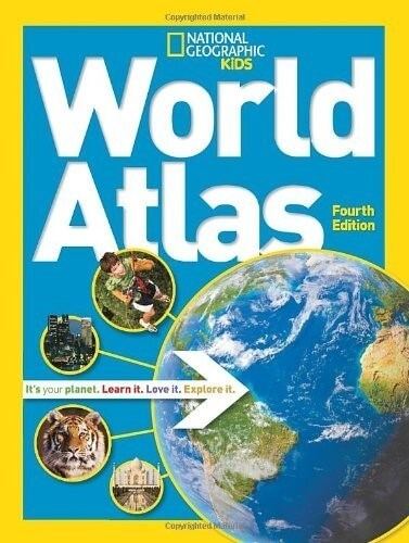
National Geographic Atlas of the World
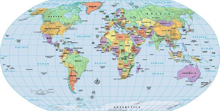
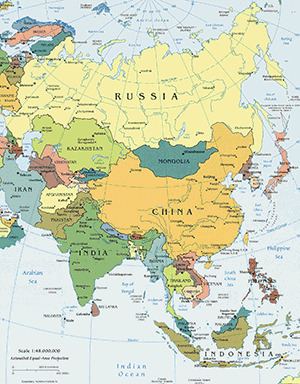
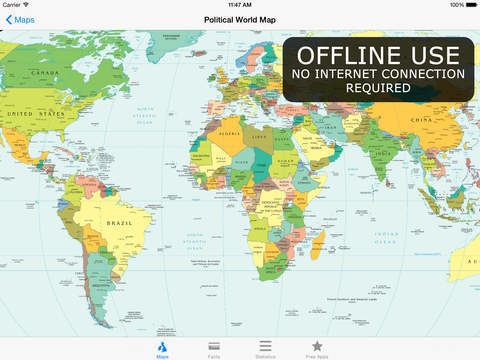
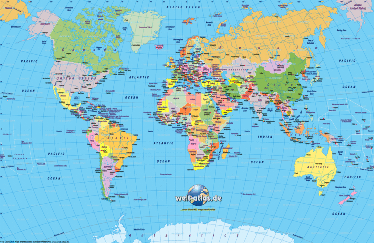
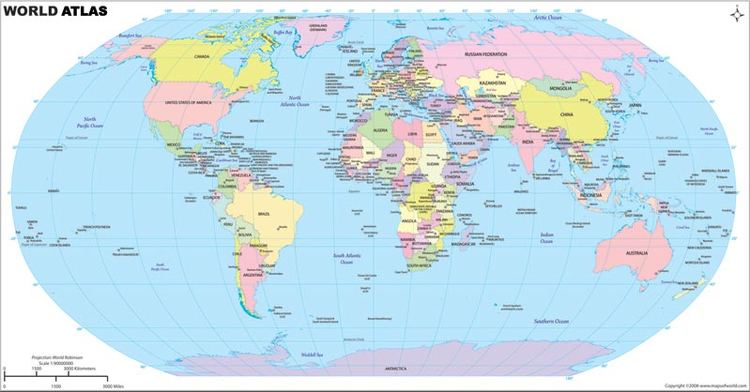
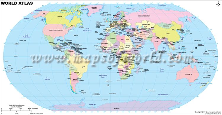
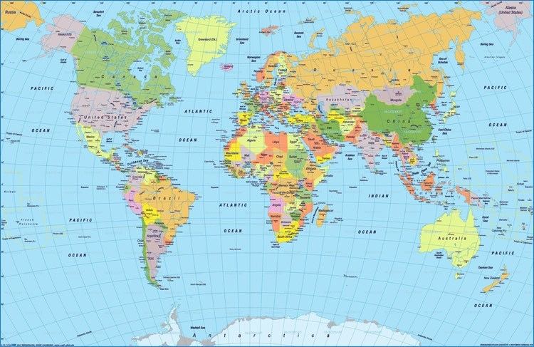
An atlas is a collection of maps; it is typically a map of Earth or a region of Earth, but there are atlases of the other planets (and their satellites) in the Solar System. Furthermore, atlases of anatomy exist, mapping out the human body or other organisms. Atlases have traditionally been bound into book form, but today many atlases are in multimedia formats. In addition to presenting geographic features and political boundaries, many atlases often feature geopolitical, social, religious and economic statistics. They also have information about the map and places in it.
Contents
Etymology
The use of the word atlas in a geographical context dates from 1595 when the geographer Gerardus Mercator published Atlas Sive Cosmographicae Meditationes de Fabrica Mundi et Fabricati Figura. (Atlas or cosmographical meditations upon the creation of the universe, and the universe as created.) This title provides Mercator's definition of the word as a description of the creation and form of the whole universe, not simply as a collection of maps. The volume that was published posthumously one year after his death is a wide-ranging text but, as the editions evolved, it became simply a collection of maps and it is in that sense that the word was used from the middle of the seventeenth century. The neologism coined by Mercator was a mark of his respect for King Atlas of Mauretania whom he considered to be the first great geographer and it is that King who is portrayed on the frontispiece of the 1595 edition, however, by the time of the 1636 edition, the frontispiece image had become the Titan Atlas supporting the globe.
History
The first work that contained systematically arranged woodcut maps of uniform size, intended to be published in a book, thus representing the first modern atlas, was De Summa totius Orbis (1524–26) by the 16th-century Italian cartographer Pietro Coppo. Nonetheless, this distinction is conventionally awarded to the Flemish cartographer Abraham Ortelius who in 1570 published the collection of maps Theatrum Orbis Terrarum.
Types
A travel atlas is made for easy use during travel, and often has spiral bindings so it may be folded flat (for example Geographers' A-Z Map Company famous A-Z Atlases). It has maps at a large zoom so the maps can be reviewed easily. A travel atlas may also be referred to as a road map.
A desk atlas is made similar to a reference book. It may be in hardback or paperback form.
Modern atlas
With the coming of the global market, publishers in different countries can reprint maps from places made elsewhere. This means that the place names on the maps often use the designations or abbreviations of the language of the country in which the feature is located, to serve the widest market. For example, islands near Russia have the abbreviation "O." for "ostrov", not "I." for "island". This practice differs from what is standard for any given language, and it reaches its extremity concerning transliterations from other languages. In particular, German mapmakers use the transliterations from Cyrillic developed by the Czechs, which are hardly used in English-speaking countries.
Selected atlases
Some cartographically or commercially important atlases include the following: