
Originally published 1816 | ||
 | ||
Similar Andrees Allgemeiner Handatlas, Times Atlas of the World, Almanach de Gotha, Atlas of World History, Theatrum Orbis Terrarum | ||
Stielers handatlas der welt das zweite reich 1911
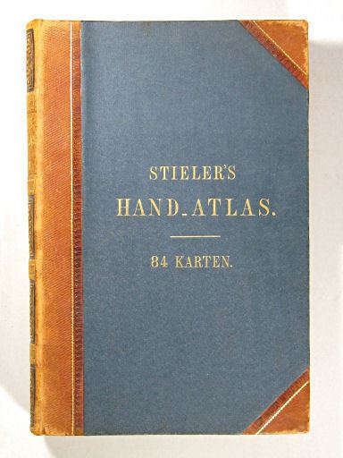
Stielers Handatlas (after Adolf Stieler, 1775–1836), formally titled Hand-Atlas über alle Theile der Erde und über das Weltgebäude (Handy atlas of all parts of the world and of the universe), was the leading German world atlas of the last three decades of the 19th and the first half of the 20th century. Published by Justus Perthes of Gotha (established 1785 and still existing there) it went through ten editions from 1816 to 1944. As with many 19th century publications, an edition was issued in parts; for example, the eighth edition was issued in 32 monthly parts.
Contents
Editions
The first edition, by Stieler and Christian Gottlieb Reichard (1758–1837) was first published in 1817. The edition's fifty maps were completed in 1823. After Stieler's death Friedrich von Stülpnagel (1786–1865) edited the second (1845–47) and third (1852–54) editions containing 83 maps; a fourth edition appeared 1862-64, a fifth 1866-68, both with 84 maps.
However, it was not until the sixth edition (1871–75, 90 maps), edited by August Petermann (1822–78), Hermann Berghaus (1828–1890) and Carl Vogel (1828–1897), that the work reached the high scientific level and the unsurpassed relief Stieler's Atlas is famous for. A seventh edition was issued 1879-82; an eighth 1888-91 (both 95 maps) under the direction of Hermann Berghaus, Vogel and Hermann Habenicht (1844–1917). Although the printing industry had already changed to lithography for some time, some maps in Stieler's Atlas were still reproduced by copper-plate printing on hand presses with hand colouring into the 1890s.
The ninth edition (1901–05), edited by Habenicht, with one hundred maps, just double the number of the first edition, was the first one printed on cylinder machines by means of lithography, which halved the price and made the Stieler accessible to a broad public. 16 maps hereof were exclusively translated to English, transferred to Imperial units and became part the 11th edition of the Encyclopædia Britannica (1910–1911). Hermann Haack (1872–1966) edited the tenth (centenary) edition (1920–25, 108 maps), with an index to 320,000 entries being the most comprehensive world atlas of modern times.
English versions of the ninth and tenth editions appeared as "Stieler's Atlas of Modern Geography", and editions with similar titles were also issued in French, Italian and Spanish. An international edition (1934–1940) remained with 84 of the 114 maps planned incomplete due to wartime circumstances. The work was engraved on 432 copper plates which have been preserved.