
Name John Cary | Died 1835 | |
 | ||
South America 1807 John Cary 2 sheet large folio antique map pair old color
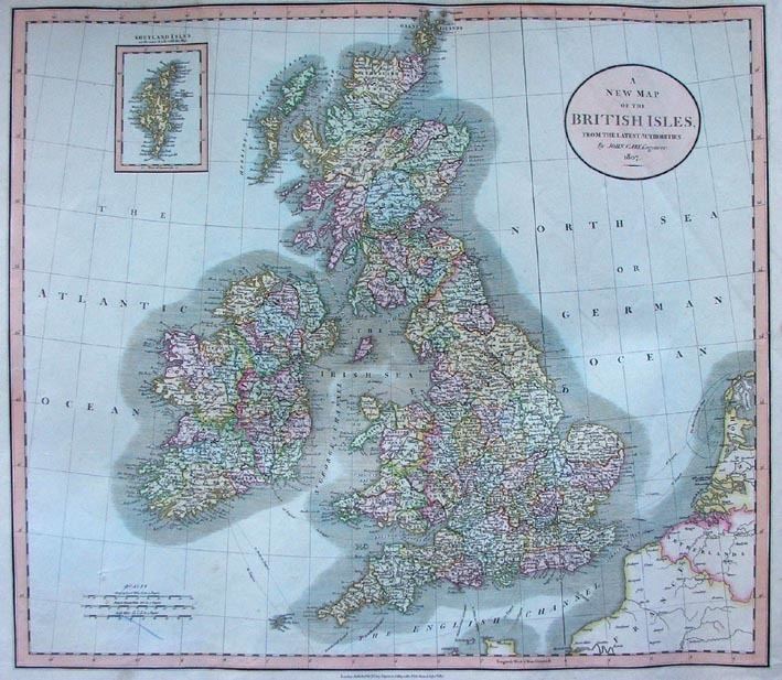
John Cary (c. 1754 – 1835) was an English cartographer.
Cary served his apprenticeship as an engraver in London, before setting up his own business in the Strand in 1783. He soon gained a reputation for his maps and globes, his atlas, The New and Correct English Atlas published in 1787, becoming a standard reference work in England.
In 1794 Cary was commissioned by the Postmaster General to survey England's roads. This resulted in Cary's New Itinerary (1798), a map of all the major roads in England and Wales. He also produced Ordnance Survey maps prior to 1805.
In his later life he collaborated on geological maps with the geologist William Smith. His business was eventually taken over by G. F. Cruchley (1822–1875).
Cary's major works include:
References
John Cary Wikipedia(Text) CC BY-SA