
Local time Tuesday 2:17 PM | ||
 | ||
Weather -12°C, Wind E at 8 km/h, 68% Humidity | ||
Atikameg is a settlement in Alberta, Canada. It is located along Highway 750, 92 km (57 mi) north-east from High Prairie. It lies on the north-western shore of Utikuma Lake at an elevation of 685 m (2,247 ft).
Contents
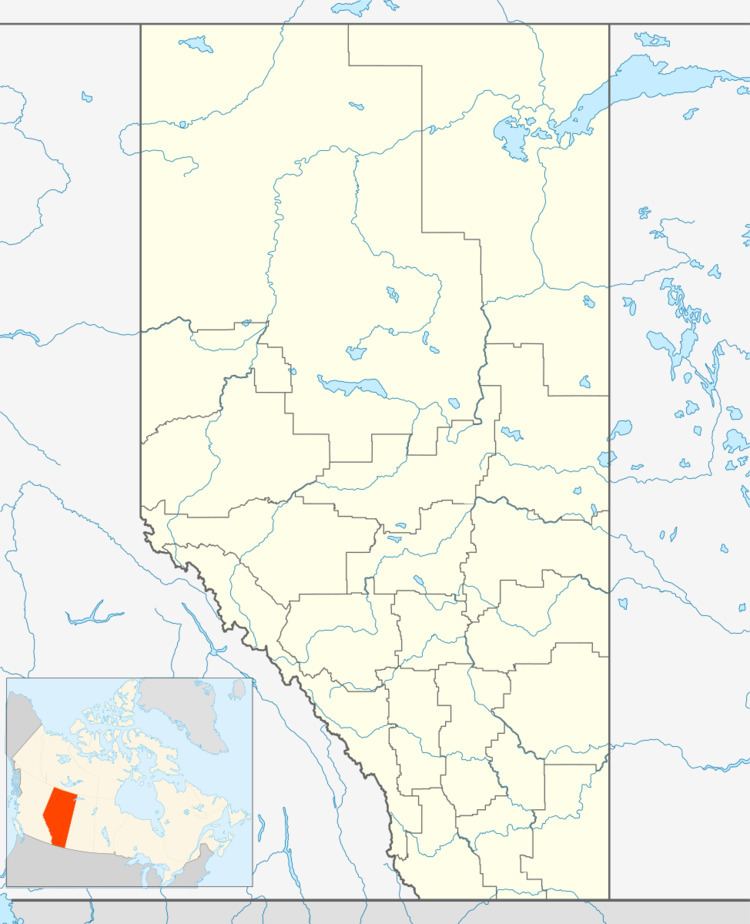
Map of Atikameg, AB, Canada
Atikameg means little whitefish in Cree. The settlement is home to the Whitefish Lake First Nations and is the centre of the Utikoomak Lake 155 Indian Reserve. The Whitefish Lake Band is affiliated to the Kee Tas Kee Now Tribal Council.
The postal code for Atikameg is T0G 0C0.
Infrastructure
A health care centre is operational in the community, as is a police detachment and the administration office of the Whitefish Lake Band.
The Atikameg Sovereign School serves the community.
Demographics
The entire Utikoomak Lake 155 reserve had a population of 786 in 2006, a 3.2% decrease from 2001.