Puneet Varma (Editor)

Astor Island

Updated on
Edit
Like
Comment
Share on FacebookTweet on TwitterShare on LinkedInShare on Reddit
Location
  
Antarctica

Area
  
12 ha (30 acres)

Island group
  
South Shetland Islands

Archipelago
  
South Shetland Islands

Population
  
Uninhabited

Astor Island

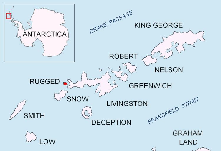
Astor Island is an island lying between Rugged Island and Livingston Island in the South Shetland Islands, Antarctica. Surface area 12 hectares (30 acres).

Contents

Map of Astor Island, Antarctica

The feature was named by the United Kingdom Antarctic Place-Names Committee in 1958 for B. Astor of the New York Lyceum of Natural History (now the American Museum of Natural History).

Maps

  • Península Byers, Isla Livingston. Mapa topográfico a escala 1:25000. Madrid: Servicio Geográfico del Ejército, 1992.
  • L.L. Ivanov et al. Antarctica: Livingston Island and Greenwich Island, South Shetland Islands. Scale 1:100000 topographic map. Sofia: Antarctic Place-names Commission of Bulgaria, 2005.
  • L.L. Ivanov. Antarctica: Livingston Island and Greenwich, Robert, Snow and Smith Islands. Scale 1:120000 topographic map. Troyan: Manfred Wörner Foundation, 2009. ISBN 978-954-92032-6-4
  • References

    Astor Island Wikipedia