District Sankt Pölten-Land Time zone CET (UTC+1) Area 28.92 km² Local time Sunday 10:24 PM | Elevation 212 m (696 ft) Area code 02772 Population 2,218 (2015) Postal code 3041 | |
 | ||
Weather 5°C, Wind S at 6 km/h, 64% Humidity | ||
The end of the fifty asperhofen
Asperhofen is a town in the district of Sankt Pölten-Land in the Austrian state of Lower Austria.
Contents
- The end of the fifty asperhofen
- Map of 3041 Asperhofen Austria
- Asperhofen blue hawks vs mostviertel bastards 23 19 7 juni 2015 by m4tv
- Geography
- References
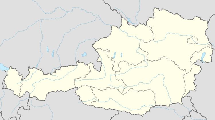
Map of 3041 Asperhofen, Austria
Asperhofen blue hawks vs mostviertel bastards 23 19 7 juni 2015 by m4tv
Geography
Asperhofen lies in the Mostviertel in Lower Austria, 6 km north of Neulengbach, on the edge of the Haspel Forest on the road to Tulln. About 20.87 percent of the municipality is forested.
References
Asperhofen Wikipedia(Text) CC BY-SA
