
Area 4.61 km² | Region Normandy Canton Isigny-sur-Mer Population (2010) 58 Local time Sunday 9:00 PM | |
 | ||
Weather 11°C, Wind S at 27 km/h, 73% Humidity | ||
Beton imprime asni res en bessin 14710 france www betonimprimeart fr youtube
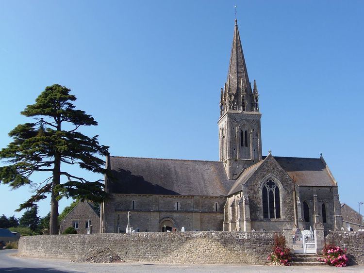
Asnières-en-Bessin is a French commune in the Calvados department in the Normandy region of north-western France.
Contents
- Beton imprime asni res en bessin 14710 france www betonimprimeart fr youtube
- Map of 14710 AsniC3A8res en Bessin France
- Geography
- Administration
- Demography
- Sites and monuments
- Notable people linked to the commune
- References
Map of 14710 Asni%C3%A8res-en-Bessin, France
The inhabitants of the commune are known as Asnièrois or Asnièroises.
Geography
Asnières-en-Bessin is located some 17 km west by north-west of Bayeux, 3 km west of Vierville-sur-Mer, and 4 km north by north-east of Longueville. Access to the commune is by the D194 road from Louvières in the east passing through the north of the commune and the village and continuing west to Cricqueville-en-Bessin. The D198 road goes south from the village through the length of the commune and continues to Aignerville. There is the hamlet of Le Temple just south of the village and Montigny in the south of the commune. The commune is entirely farmland.
The Veret river flows through the centre of the commune from east to west and continues west then north-west to the sea at the Pont du Hable.
Administration
List of Successive Mayors
(Not all data is known)
Demography
In 2010 the commune had 58 inhabitants. The evolution of the number of inhabitants is known from the population censuses conducted in the commune since 1793. From the 21st century, a census of communes with fewer than 10,000 inhabitants is held every five years, unlike larger towns that have a sample survey every year.
Sources : Ldh/EHESS/Cassini until 1962, INSEE database from 1968 (population without double counting and municipal population from 2006)