
OS grid reference TF7019 | Sovereign state United Kingdom Postcode district PE32 | |
 | ||
District | ||
Ufo activity over bawsey and ashwicken woods taken from a different position kings lynn uk
Ashwicken is a small village in the English county of Norfolk. The village sits on the B1145 Kings Lynn to Mundesley road around 5 miles (8.0 km) east of Kings Lynn. The village was united with the civil parish of Leziate in the 15th century.
Contents
- Ufo activity over bawsey and ashwicken woods taken from a different position kings lynn uk
- Map of Ashwicken Kings Lynn UK
- References
Map of Ashwicken, King's Lynn, UK
Ashwicken is the site of a shrunken medieval village, one of around 200 lost settlements in Norfolk. The remains of the village were visible as earthworks near to Ashwicken Hall but were partly destroyed by ploughing in the 1990s. The hall was surrounded by a medieval moat which was filled in during the 19th century.
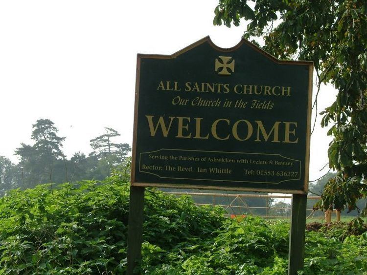
The parish church, which is dedicated to All Saints, dates from the medieval period. It was restored during the 19th century and is a Grade II* listed building.
References
Ashwicken Wikipedia(Text) CC BY-SA