
Country United States Incorporated 1765 Elevation 313 m Zip code 01430 | Settled 1736 Time zone Eastern (UTC−5) Founded 1765 Population 6,081 (2010) | |
 | ||
Weather 0°C, Wind NW at 26 km/h, 53% Humidity | ||
Climbing mount watatic ashburnham massachusetts hd
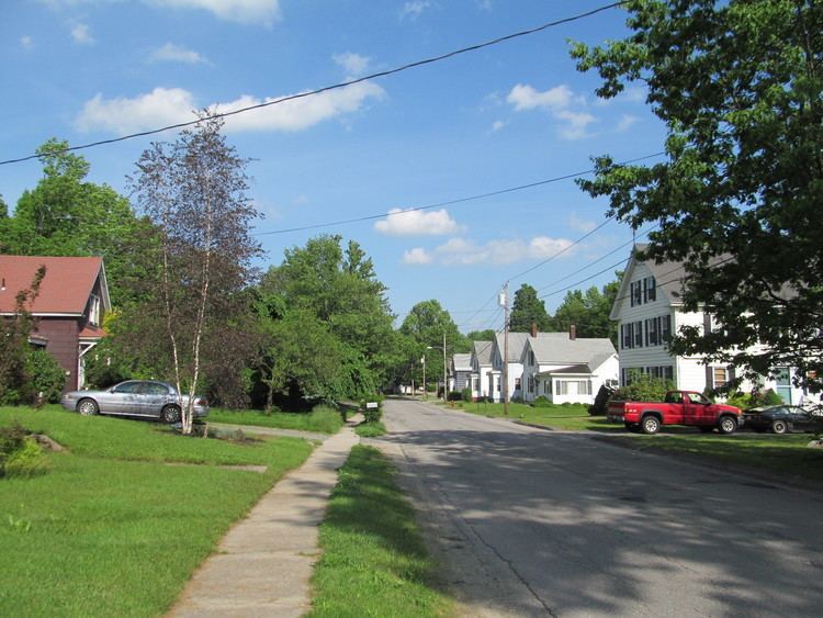
Ashburnham is a town in Worcester County, Massachusetts. At the 2010 census the town population was 6,081. It is home to Cushing Academy, a private preparatory school.
Contents
- Climbing mount watatic ashburnham massachusetts hd
- Map of Ashburnham MA USA
- History
- Geography and transportation
- Demographics
- Educational institutions
- Points of interest
- Notable people
- References
Map of Ashburnham, MA, USA
It contains the census-designated place of South Ashburnham, Massachusetts.
History
Ashburnham was first settled in 1736, and was officially incorporated in 1765. The name is of British origin, possibly drawn from the Earl of Ashburnham, in Pembrey, or the Sussex community of Ashburnham.
Ashburnam was originally made up of the lands granted to officers and soldiers of a 1690 expedition to Canada. It was called the Plantation of Dorchester-Canada until it was incorporated.
Geography and transportation
According to the United States Census Bureau, the town has a total area of 41.0 square miles (106 km2), of which 38.7 square miles (100 km2) is land and 2.3 square miles (6.0 km2) (5.68%) is water. Ashburnham has two distinct topographical areas, hilly to the east and relatively flat high ground to the west. To the east, Mount Watatic and Little Watatic Mountain rise in the northeastern part of town, with Jewell Hill to the southeast and Blood Hill rising just over the town line. In the western part of town are several lakes, including Lake Wampanoag, Sunset Lake, Lake Watatic, Wallace Pond, and the Upper & Lower Naukeag Lakes, all of which (except Lake Wampanoag) feed into the headwaters of the Millers River, which flows westward towards the Connecticut River. Several brooks also feed into these lakes and ponds, along with several others between the hills in the eastern part of town. Several areas scattered around the town are protected as part of Ashburnham State Forest, as well as two smaller areas which are parts of Mount Watatic State Wildlife Management Area and a small portion of the High Ridge Wildlife Management Area to the south.
Though it is over fifteen miles west of the easternmost portions of Worcester County, it nonetheless is the northeast corner of the county, bordering Middlesex County to the east, and Cheshire County, New Hampshire and Hillsborough County, New Hampshire to the north. Ashburnham is bordered by Rindge, New Hampshire and New Ipswich, New Hampshire to the north, Ashby to the east, Westminster and a small portion of Fitchburg to the southeast, Gardner to the southwest, and Winchendon to the west. The town's center lies seven miles from downtown Fitchburg, 29 miles north of Worcester, and fifty miles northwest of Boston. There are several small villages within town, the most notable being North and South Ashburnham.
There are no interstates or limited-access highways within the town of Ashburnham, with the nearest being Route 2, the major east-west route through northern Massachusetts, which passes through Fitchburg and Westminster. Route 12 passes from east to west through town, entering from Westminster and passing west towards Winchendon. The northern terminus of Route 101, which passes from Gardner towards the north before terminating at Route 119, which passes from Ashby before entering New Hampshire and becoming New Hampshire Route 119. Routes 12 &101 share a short, 150-yard concurrency in the center of town. There are no stoplights in town.
An abandoned section of the Springfield Terminal Railroad passes through the town, splitting in South Ashburnham, part of which returns towards Gardner, the other part heading through Winchendon towards New Hampshire. A line of the Montachusett Regional Transit Authority (MART) serves the town. MART also operates fixed-route bus services, shuttle services, as well as paratransit services for Ashburnham and the Montachusett Region.
There are two general aviation airports nearby, Fitchburg Municipal Airport and Gardner Municipal Airport, with the nearest national air service being at Manchester-Boston Regional Airport in New Hampshire.
Demographics
As of the census of 2000, there were 5,546 people, 1,929 households, and 1,541 families residing in the town. The population density was 143.4 people per square mile (55.4/km²). There were 2,204 housing units at an average density of 57.0 per square mile (22.0/km²). The racial makeup of the town was 97.66% White, 0.22% African American, 0.04% Native American, 0.61% Asian, 0.31% from other races, and 1.17% from two or more races. Hispanic or Latino of any race were 1.66% of the population. 19.5% were of Irish, 15.9% French, 13.7% French Canadian, 9.4% Italian, 7.0% English, 6.6% Finnish and 5.6% American ancestry according to Census 2000.
There were 1,929 households out of which 42.0% had children under the age of 18 living with them, 66.8% were married couples living together, 9.3% had a female householder with no husband present, and 20.1% were non-families. 15.6% of all households were made up of individuals and 5.4% had someone living alone who was 65 years of age or older. The average household size was 2.87 and the average family size was 3.20.
In the town, the age distribution of the population shows 29.0% under the age of 18, 6.7% from 18 to 24, 30.9% from 25 to 44, 24.5% from 45 to 64, and 8.9% who were 65 years of age or older. The median age was 37 years. For every 100 females there were 103.2 males. For every 100 females age 18 and over, there were 99.3 males.
According to the 2010 census, the median household income was $76,250 and the average household income was $81,324. The per capita household income was $29,044. About 4.8% of families and 6.4% of the population were below the poverty line, including 6.8% of those under age 18 and 6.4% of those age 65 or over. The median house cost was $266,347.
Educational institutions
Private:
Public: