Area 8.6 km² | Region Occitanie Intercommunality Pays de Pamiers Local time Saturday 11:03 PM | |
 | ||
Weather 3°C, Wind SE at 6 km/h, 74% Humidity | ||
Arvigna
Arvigna is a French commune in the Ariège department in the Occitanie region of southwestern France.
Contents
- Arvigna
- Map of 09100 Arvigna France
- B casse a arvigna 013 pc
- Geography
- Places and Hamlets
- Administration
- Demography
- Sites and Monuments
- Local life
- Tourism
- Associations
- References
Map of 09100 Arvigna, France
The inhabitants of the commune are known as Arvignais or Arvignaises.
B casse a arvigna 013 pc
Geography
Arvigna is a commune in the Pre-Pyrenees located some 11 km south-east of Pamiers and 12 km west by south-west of Mirepoix. Access to the commune is by the D12 road from Vira in the south-west passing through the commune east of the village and continuing to join the D119 north of the commune. There are extensive forests in the commune covering about 40% of the land area with the rest farmland.
The Douctouyre river flows along the edge of the forests in the north-east of the commune from south-east to north and it continues north to join the Hers near Vals. Four streams rise in the commune and flow north-east to join the Douctouyre in the commune - the Ruisseau de Lafage, the Ruisseau de Truffet, an unnamed stream, and the Ruisseau de Minguet. The western border is delineated by an unnamed stream which flows north to join Le Canal south of Saint-Amadou.
Places and Hamlets
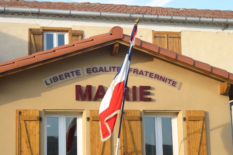
The population is mostly split between four hamlets (Languit, Menet, Roubichou, les Bordes) which are scattered around the Town hall and the school. The church is on the slopes of Cantegril hill above Arvigna village. There are eight other hamlets in the commune:
Administration
List of Successive Mayors
(Not all data is known)
Demography
In 2010 the commune had 215 inhabitants. The evolution of the number of inhabitants is known from the population censuses conducted in the commune since 1793. From the 21st century, a census of communes with fewer than 10,000 inhabitants is held every five years, unlike larger towns that have a sample survey every year.
Sources : Ldh/EHESS/Cassini until 1962, INSEE database from 1968 (population without double counting and municipal population from 2006)
Sites and Monuments
There are four structures registered as historical monuments in Arvigna. These are:
The Church of Saint-Vincent and Saint-Martial contains many items that have been registered as historical objects. These are:
Local life
School: an inter-communal educational grouping (RPI) for the Douctouyre Valley groups together the communes of Arvigna, Calzan, Vira, [Dun], Lieurac, and Carla-de-Roquefort. Five classes are open, including one at Arvigna with a canteen service and a CLAE. There is a leisure centre that operates on Wednesdays and during the holidays at Dun.
Tourism
There are two rural Gîtes (apartments), a Hiking or Mountain bike trail 7 km long trail which is an Earth Society (maquisards and guerrillas) path starting from the hamlet of Minguet to the site of a former Cathar castle (not restored).
