
Country India Time zone IST (UTC+5.30) Population 154,736 (2011) | Area 375 km² Area code 03254 | |
 | ||
Assembly constituency Balarampur, Baghmundi, Joypur | ||
Arsha is a community development block that forms an administrative division in Purulia Sadar West subdivision of Purulia district in the Indian state of West Bengal.
Contents
Background
The Jaina Bhagavati-Sutra of 5th century AD mentions that Purulia was one of the sixteen mahajanapadas and was a part of the kingdom known as Vajra-bhumi in ancient times. In 1833, Manbhum district was carved out of Jungle Mahals district, with headquarters at Manbazar. In 1838, the headquarters was transferred to Purulia. In 1956, Manbhum district was partitioned between Bihar and West Bengal under the States Reorganization Act and the Bihar and West Bengal (Transfer of Territories) Act 1956.
Red corridor
106 districts spanning 10 states across India, described as being part of the Left Wing Extremism activities, constitutes the Red corridor. In West Bengal the districts of Paschim Medinipur, Bankura, Purulia and Birbhum are part of the Red corridor. However, as of July 2016, there had been no reported incidents of Maoist related activities from these districts for the previous 4 years.
The CPI (Maoist) extremism affected CD Blocks in Purulia district were: Jhalda I, Jhalda II, Arsha, Baghmundi, Balarampur, Barabazar, Manbazar II and Bandwan. Certain reports also included Manbazar I and Joypur CD Blocks and some times indicted the whole of Purulia district.
The Lalgarh movement, which started attracting attention after the failed assassination attempt on Buddhadeb Bhattacharjee, then chief minister of West Bengal, in the Salboni area of Paschim Medinipur district, on 2 November 2008 and the police action that followed, had also spread over to these areas. The movement was not just a political struggle but an armed struggle that concurrently took the look of a social struggle. A large number of CPI (M) activists were killed. Although the epi-centre of the movement was Lalgarh, it was spread across 19 police stations in three adjoining districts – Paschim Medinipur, Bankura and Purulia, all thickly forested and near the border with Jharkhand. The deployment of CRPF and other forces started on 11 June 2009. The movement came to an end after the 2011 state assembly elections and change of government in West Bengal. The death of Kishenji, the Maoist commander, on 24 November 2011 was the last major landmark.
Geography
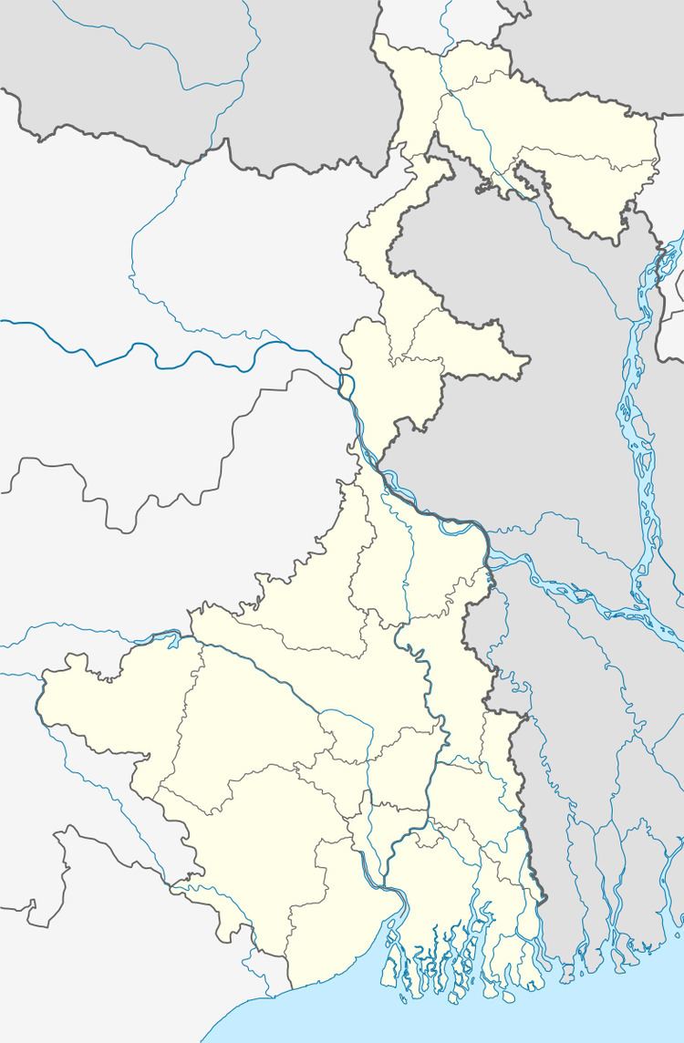
Arsha is located at 23°19′52.0″N 86°10′20.3″E.
Arsha CD Block is bounded by Joypur CD Block on a part of the north, Purulia I on a part of the north and on the east, Barabazar, Balarampur and Baghmundi CD Blocks on the south, and Jhalda II CD Block on the west.
It is located 30 km from Purulia, the district headquarters.
Arsha CD Block is located in the central part of the district. The Kangsabati River forms the boundary between Arsha and Joypur and Purulia I CD Blocks. The upper Kangsabati basin has undulating land and the elevation rises from 200 to 300 m and the general slope is from west to east and south-east.
Arsha CD Block has an area of 375.04 km2. It has 1 panchayat samity, 8 gram panchayats, 101 gram sansads (village councils), 96 mouzas and 95 inhabited villages. Arsha police station serves this block. Headquarters of this CD Block are at Sirkabad.
Gram panchayats of Arsha block/panchayat samiti are: Arsha, Beldih, Chatuhansa, Hensla, Hetgugui, Mankiari, Puara and Sirkabad.
Population
As per the 2011 Census of India Arsha CD Block had a total population of 154,736, all of which were rural. There were 78,398 (51%) males and 76,338 (49%) females. Population below 6 years was 26,208. Scheduled Castes numbered 18,294 (11.82%) and Scheduled Tribes numbered 33,568 (21.69%).
As per 2001 census, Arsha block had a total population of 129,108, out of which 65,996 were males and 63,112 were females. Arsha block registered a population growth of 15.36 per cent during the 1991-2001 decade. Decadal growth for Purulia district was 13.96 per cent. Decadal growth in West Bengal was 17.84 per cent.
Large villages (with 4,000+ population) in Arsha CD Block are (2011 census figures in brackets): Arsha (5,958), Palpal (5,511), Rangamati (4,365), Sirkabad (6,288), Chatuhansa (4,388), Hesla (4,574) and Satra (5,857).
Other villages in Arsha CD Block are (2011 census figures in brackets): Puara (3,900), Beldi (3,337), Mankiari (1,784) and Hetgugui (3,029).
Literacy
As per the 2011 census the total number of literates in Arsha CD Block was 70,413 (54.78% of the population over 6 years) out of which males numbered 45,876 (70.36% of the male population over 6 years) and females numbered 24,537 (38.75%) of the female population over 6 years). The gender disparity (the difference between female and male literacy rates) was 31.61%.
See also – List of West Bengal districts ranked by literacy rate
Languages and Religion
Bengali is the local language in these areas.
Along the western borders of the district the local Bengali dialect spoken in the area often merges with Magahi dialects such as Kurmali, Khotta and Khottahi or even Khotta Bangla. There is a tribal presence in many of the CD Blocks of the district. Santali was spoken by around 14% of the population of the earlier Manbhum district. Some people also speak Mundari or Kolarian languages such as Kurmali, Mundari and the languages of the Bhumij or Mahli. However, the small number of people speaking some of these languages, particularly the Bhumijes, gave rise to doubts that many tribals have been recording Bengali as their language in different censuses, although they still speak their languages amongst themselves.
In the 2011 census Hindus numbered 119,561 and formed 77.27% of the population in Arsha CD Block. Muslims numbered 10,344 and formed 6.68% of the population. Christians numbered 495 and formed 0.32% of the population. Others numbered 24,336 and formed 15.73% of the population. Others include Christian, Addi Bassi, Marang Boro, Santal, Saranath, Sari Dharma, Sarna, Alchchi, Bidin, Sant, Saevdharm, Seran, Saran, Sarin, Kheria, and other religious communities.
Infrastructure
93 mouzas in Arsha CD Block were electrified by 31 March 2014.
Agriculture
In 2013-14, persons engaged in agriculture in Arsha CD Block could be classified as follows: bargadars 0.77%, patta (document) holders 11.59%, small farmers (possessing land between 1 and 2 hectares) 6.81%, marginal farmers (possessing land up to 1 hectare) 21.04% and agricultural labourers 59.79%.
In 2013-14, the total area irrigated in Arsha CD Block was 15,549.98 hectares, out of which 10,984.20 hectares was by canal irrigation, 3,763.71 hectares by tank water, 10.57 hectares by river lift irrigation, 192.20 hectares by open dug wells and 599.30 hectares by other means.
In 2013-14, Arsha CD Block produced 104,423 tonnes of Aman paddy, the main winter crop, from 39,094 hectares, 45 tonnes of Boro paddy from 17 hectares, 270 tonnes of wheat from 140 hectares, 226 tonnes of maize from 122 hectares, 3,175 tonnes of potatoes from 107 hectares and 7,467 tonnes of sugar cane from 150 hectares. It also produced maskalai, gram and mustard.
Banking
In 2013-14, Arsha CD Block had offices of 5 commercial bank and 1 gramin bank.
Transport
In 2013-14, Arsha CD Block had 6 originating/ terminating bus routes. The nearest railway station was 20 km from CD Block headquarters.
Education
In 2013-14, Arsha CD Block had 134 primary schools with 16,636 students, 19 middle schools with 2,058 students, 1 high school with 653 students and 9 higher secondary schools with 13,238 students. Arsha CD Block had 1 general college with 1,056 students, 1 professional/ technical institute with 12 students and 226 institutions with 8,614 students for special and non-formal education.
Healthcare
In 2014, Arsha CD Block had 1 block primary health centre and 2 primary health centres, with total 44 beds and 4 doctors. 4,001 patients were treated indoor and 208,674 patients were treated outdoor in the health centres and subcentres of the CD Block.