
PIN 723102 (Kotloi) Elevation 240 m Population 151,188 (2011) | Time zone IST (UTC+5:30) Telephone/STD code 03251 Area 281.5 km² Area code 03251 | |
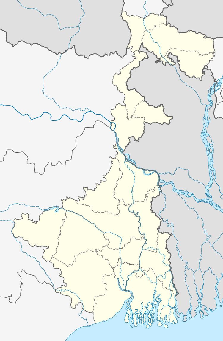 | ||
Purulia I is a community development block that forms an administrative division in Purulia Sadar East subdivision of Purulia district in the Indian state of West Bengal.
Contents
Background
The Jaina Bhagavati-Sutra of 5th century AD mentions that Purulia was one of the sixteen mahajanapadas and was a part of the kingdom known as Vajra-bhumi in ancient times. In 1833, Manbhum district was carved out of Jungle Mahals district, with headquarters at Manbazar. In 1838, the headquarters was transferred to Purulia. In 1956, Manbhum district was partitioned between Bihar and West Bengal under the States Reorganization Act and the Bihar and West Bengal (Transfer of Territories) Act 1956.
Geography
Bhatbandh is located at 23°19′26″N 86°20′44″E.
Purulia I CD Block is located in the central part of the district. The Kangsabati River forms the boundary between Purulia I and Arsha and Purulia II CD Blocks. The upper Kangsabati basin has undulating land and the elevation rises from 200 to 300 m and the general slope is from west to east and south-east.
Purulia I CD Block is bounded by Chandankiyari CD Block, in Bokaro district of Jharkhand, and Purulia II and Hura CD Blocks on the north, Puncha and Manbazar I CD Blocks on the east, Barabazar CD Block on the south, and Arsha and Joypur CD Blocks on the west.
Purulia I CD Block has an area of 281.50 km2. It has 1 panchayat samity, 8 gram panchayats, 101 gram sansads (village councils), 115 mouzas, 105 inhabited villages and 1 census town. Kenda (partly), Purulia (Town) (partly), Arsha (partly) and Purulia (Muffasil} (partly) police stations serve this block.Headquarters of this CD Block is at Chakda, PO Kotlui.
Gram panchayats of Purulia I block/ panchayat samiti are: Bhandarpuara-Chipida, Chakaltore, Dimdiha, Durku, Garafusra, Lagda, Manara and Sonajuri.
Population
As per the 2011 Census of India Purulia I CD Block had a total population of 151,188, of which 145,494 were rural and 5,694 were urban. There were 77,858 (51%) males and 73,330 (49%) females. Population below 6 years was 21,984. Scheduled Castes numbered 25,936 (17.15%) and Scheduled Tribes numbered 12,655 (8.37%).
As per 2001 census, Purulia I block had a total population of 125,261, out of which 64,980 were males and 60,281 were females. Purulia I block registered a population growth of 14.34 per cent during the 1991-2001 decade. Decadal growth for Purulia district was 13.96 per cent.Decadal growth in West Bengal was 17.84 per cent.
Census Towns in Purulia I CD Block are (2011 census figures in brackets): Lagda (5,694).
Large villages (with 4,000+ population) in Purulia I CD Block are (2011 census figures in brackets): Garaphushara (4,244), Dimdiha (4,266) and Chakaltor (4,461).
Other villages in Purulia I CD Block are (2011 census figures in brackets): Kotloi (3,151), Chakda (3,275), Durku (2,315) and Bhandarpuara (2,490).
Literacy
As per the 2011 census the total number of literates in Purulia I CD Block was 83,688 (64.77% of the population over 6 years) out of which males numbered 52,095 (78.37% of the male population over 6 years) and females numbered 31,593 (50.37%) of the female population over 6 years). The gender disparity (the difference between female and male literacy rates) was 28.00%.
See also – List of West Bengal districts ranked by literacy rate
Languages and Religions
Bengali is the local language in these areas.
In the 2011 census Hindus numbered 126,796 and formed 83.87% of the population in Purulia I CD Block. Muslims numbered 10,745 and formed 7.11% of the population. Christians numbered 1,206 and formed 0.80% of the population. Others numbered 12,441 and formed 8.23% of the population.Others include Addi Bassi, Marang Boro, Santal, Saranath, Sari Dharma, Sarna, Alchchi, Bidin, Sant, Saevdharm, Seran, Saran, Sarin, Kheria,and other religious communities.
Infrastructure
107 mouzas in Purulia I CD Block were electrified by 31 March 2014.
Agriculture
In 2013-14, persons engaged in agriculture in Purulia I CD Block could be classified as follows: bargadars 1.54%, patta (document) holders 8.83%, small farmers (possessing land between 1 and 2 hectares) 2,55%, marginal farmers (possessing land up to 1 hectare) 27.67% and agricultural labourers 59.40%.
In 2013-14, the total area irrigated in Purulia I CD Block was 5,557.38 hectares, out of which 170.00 hectares by canal water, 4,606.47 hectares by tank water, 27.91 hectares by river lift irrigation, 179.00 hectares by open dug wells and 574 hectares by other means.
In 2013-14, Purulia I CD Block produced 90,165 tonnes of Aman paddy, the main winter crop, from 34,693 hectares, 20 tonnes of wheat from 9 hectares, 331 tonnes of maize from 240 hectares and 6,813 tonnes of potatoes from 298 hectares. It also produced maskalai, khesari, gram, mustard and sugar cane.
Banking
In 2013-14, Purulia I CD Block had offices of 1 commercial bank and 5 gramin banks.
Transport
In 2013-14, Purulia I CD Block had 4 originating/ terminating bus routes.
SH 4A running from Tulin (in Purulia district) terminates at its junction with NH 18 at Chas Morh.
The Purulia-Kotshila branch line of South Eastern Railway passes through this CD Block and there is a station at Gourinathdham and Chas Road.
Education
In 2013-14, Purulia I CD Block had 142 primary schools with 14,913 students, 20 middle schools with 776 students, 8 high schools with 3,010 students and 14 higher secondary schools with 16,111 students. Purulia I CD Block had 1 professional/ technical institutes with 95 students and 225 institutions with 10,461 students for special and non-formal education. Purulia city (outside the CD Block) had a university, 2 general colleges and 5 professional/ technical institutions.
Healthcare
In 2014, Purulia I CD Block had 1 block primary health centre, 1 primary health centre and 1 private nursing home, with total 198 beds and 6 doctors. 7,795 patients were treated indoor and 271,956 patients were treated outdoor in the hospitals, health centres and subcentres of the CD Block.