
Country United States County Saint Louis FIPS code 27-02278 Area 185.4 km² Local time Wednesday 7:08 PM | Time zone Central (CST) (UTC-6) GNIS feature ID 0663460 Elevation 417 m Population 223 (2010) | |
 | ||
Weather -4°C, Wind NW at 13 km/h, 53% Humidity | ||
Arrowhead Township is a township in Saint Louis County, Minnesota, United States. The population was 223 at the 2010 census.
Contents
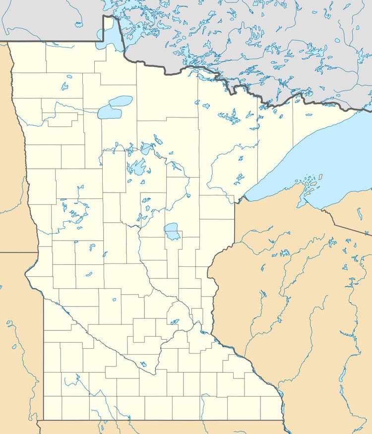
- Map of Arrowhead Township MN USA
- Geography
- Adjacent townships cities and communities
- Demographics
- References
Map of Arrowhead Township, MN, USA
U.S. Highway 2 serves as a main route in the township. Highway 2 runs east–west through the middle of the township.
Saint Louis County Road 8 (CR 8) runs east–west through the northern portion of the township.
The east–central and southeast portions of Arrowhead Township are located within the Fond du Lac Indian Reservation.
Geography
According to the United States Census Bureau, the township has a total area of 71.7 square miles (186 km2); 70.8 square miles (183 km2) is land and 0.8 square miles (2.1 km2), or 1.14%, is water.
The Saint Louis River runs east–west through the middle of Arrowhead Township.
Adjacent townships, cities, and communities
The following municipalities and communities are adjacent to Arrowhead Township :
Demographics
As of the census of 2000, there were 232 people, 66 households, and 46 families residing in the township. The population density was 3.3 people per square mile (1.3/km²). There were 98 housing units at an average density of 1.4/sq mi (0.5/km²). The racial makeup of the township was 94.83% White, 0.43% African American, 2.16% Native American, 0.43% from other races, and 2.16% from two or more races. Hispanic or Latino of any race were 1.29% of the population.
There were 66 households out of which 36.4% had children under the age of 18 living with them, 59.1% were married couples living together, 4.5% had a female householder with no husband present, and 28.8% were non-families. 22.7% of all households were made up of individuals and 13.6% had someone living alone who was 65 years of age or older. The average household size was 2.97 and the average family size was 3.23.
In the township the population was spread out with 26.3% under the age of 18, 4.3% from 18 to 24, 27.6% from 25 to 44, 22.8% from 45 to 64, and 19.0% who were 65 years of age or older. The median age was 40 years. For every 100 females there were 134.3 males. For every 100 females age 18 and over, there were 147.8 males.
The median income for a household in the township was $31,071, and the median income for a family was $31,607. Males had a median income of $23,750 versus $32,813 for females. The per capita income for the township was $12,055. About 23.6% of families and 27.9% of the population were below the poverty line, including 18.3% of those under the age of eighteen and 46.4% of those sixty five or over.