
Country United States County Saint Louis FIPS code 27-66586 Elevation 383 m Population 189 (2010) | Time zone Central (CST) (UTC-6) GNIS feature ID 0665851 Local time Friday 9:35 PM | |
 | ||
Weather 4°C, Wind SE at 0 km/h, 55% Humidity Area 92.2 km² (91.43 km² Land / 78 ha Water) | ||
Van Buren Township is a township in Saint Louis County, Minnesota, United States. It was named for Martin Van Buren, the eighth President of the United States. The population was 189 at the 2010 census.
Contents
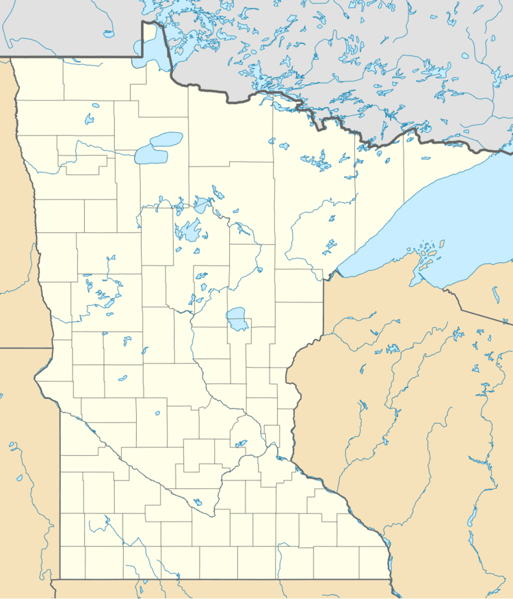
- Map of Van Buren Township MN 55736 USA
- Geography
- Adjacent townships cities and communities
- Demographics
- References
Map of Van Buren Township, MN 55736, USA
State Highway 73 (MN 73) and Saint Louis County Road 29 (CR 29) are two of the main routes in the township. Floodwood is nearby.
Geography
According to the United States Census Bureau, the township has a total area of 35.6 square miles (92 km2); 35.3 square miles (91 km2) is land and 0.3 square miles (0.78 km2), or 0.87%, is water.
The Saint Louis River flows through the southern and east–central portions of Van Buren Township.
The Whiteface River briefly enters the east–central part of the township.
The Floodwood River flows through the western portion of Van Buren Township.
Adjacent townships, cities, and communities
The following are adjacent to Van Buren Township :
Demographics
As of the census of 2000, there were 175 people, 66 households, and 48 families residing in the township. The population density was 5.0 people per square mile (1.9/km²). There were 89 housing units at an average density of 2.5/sq mi (1.0/km²). The racial makeup of the township was 98.86% White, 0.57% Native American and 0.57% Asian.
There were 66 households out of which 33.3% had children under the age of 18 living with them, 69.7% were married couples living together, and 25.8% were non-families. 21.2% of all households were made up of individuals and 7.6% had someone living alone who was 65 years of age or older. The average household size was 2.65 and the average family size was 3.08.
In the township the population was spread out with 25.7% under the age of 18, 6.9% from 18 to 24, 26.9% from 25 to 44, 28.0% from 45 to 64, and 12.6% who were 65 years of age or older. The median age was 40 years. For every 100 females there were 127.3 males. For every 100 females age 18 and over, there were 120.3 males.
The median income for a household in the township was $33,250, and the median income for a family was $39,063. Males had a median income of $36,250 versus $36,875 for females. The per capita income for the township was $16,509. About 11.1% of families and 16.8% of the population were below the poverty line, including 17.5% of those under the age of eighteen and 46.7% of those sixty five or over.