
Length 33.14 km | ||
 | ||
Counties Poinsett County, Arkansas, Craighead County, Arkansas | ||
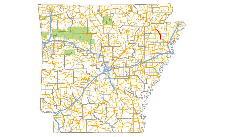
Arkansas Highway 463 (AR 463 and Hwy. 463) is a north–south state highway in northeast Arkansas. The route of 20.59 miles (33.14 km) runs from Highway 14 very near Future I-555/US 63 at Payneway north to I-555/US 63/US 63B in Jonesboro. The route is a redesignation of former U.S. Route 63, which has since been rerouted onto a freeway (a fully controlled-access highway) which will soon become Interstate 555.
Contents
Map of AR-463, Arkansas, USA
Route description
The route begins at a T intersection with Highway 14 at the unincorporated community of Payneway 0.4 miles (0.64 km) west of Future I-555/US 63. Highway 463 runs along a range line north to intersect Highway 214 before crossing the freeway and entering Trumann. Highway 463 intersects Highway 69S before passing the Maxie Theatre on the National Register of Historic Places. Further north, AR 463 has junctions with AR 198, AR 69, and AR 214 before exiting Trumann and entering Craighead County.
The route has an overlap with Highway 158 in Bay and a junction with I-555/US 63 before entering Jonesboro and terminating at I-555/US 63/US 63B.