
North end: AR 358 | Majorjunctions: US 63B in Jonesboro Length 23.82 km | |
 | ||
South end: Airport Road east of BNSF tracks in Jonesboro Majorjunctions: US 49 / AR 1 in Jonesboro South end: Frontage Road, Jonesboro | ||
Arkansas Highway 351 (AR 351 and Hwy. 351) is a designation for two north–south state highway in northeast Arkansas. The main route of 13.82 miles (22.24 km) runs from Airport Road east of the BNSF railroad tracks north to Highway 358. A second segment of 0.92 miles (1.48 km) runs in Jonesboro as Industrial Drive.
Contents
Map of AR-351, Jonesboro, AR 72401, USA
Jonesboro to Paragould
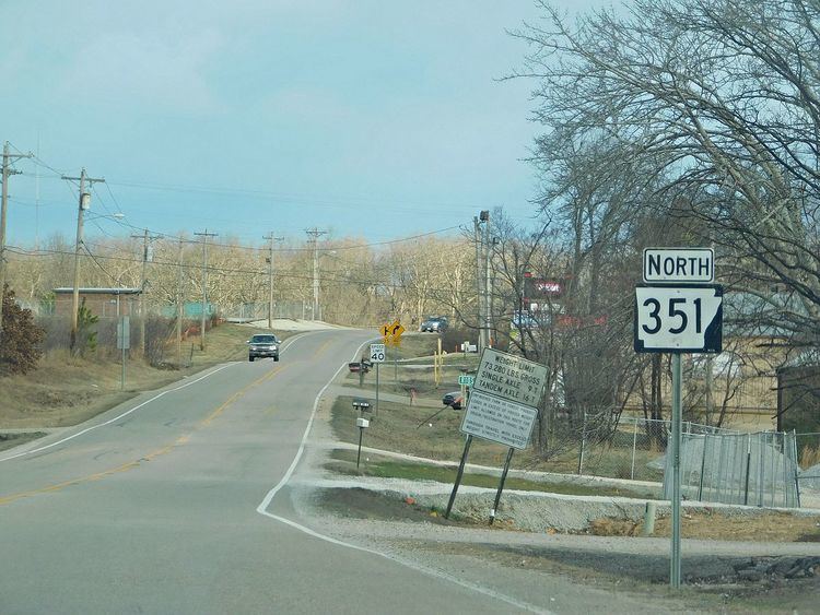
AR 351 begins at Airport Road in Jonesboro east of the BNSF railroad tracks. The route runs northeast by the Jonesboro Municipal Airport before overlapping US 49/AR 1. AR 351 proceeds to run north to terminate at AR 358.
Industrial Drive
The route begins at the north frontage road for Interstate 555/U.S. Route 63 and runs north. Highway 351 intersects US 63B before terminating at Highway 18.
References
Arkansas Highway 351 Wikipedia(Text) CC BY-SA