
Length 23.69 km | Constructed 24 April 1963 | |
 | ||
Existed: April 24, 1963 – present Counties Greene County, Arkansas, Randolph County, Arkansas | ||
Arkansas Highway 304 (AR 304, Hwy. 304) is an east–west state highway in Arkansas. The route of 14.72 miles (23.69 km) runs from US Route 67 (US 67) and Highway 90 in south Pocahontas east to Highway 34/Highway 90 in Delaplaine.
Contents
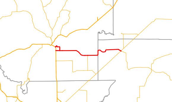
Map of AR-304, Arkansas, USA
Route description
Highway 304 begins at US 67 south of Pocahontas. The route heads east past Nick Wilson Field and Black River Technical College to meet Highway 304N. Highway 304 has a junction with Highway 231 near Sharum before entering Greene County. Highway 304 continues east to Delaplaine, where it meets AR 34/AR 90 and terminates.
History
Highway 304 was added to the state highway system as part of a large transfer of county roads to the state system that took place on April 24, 1963. Initially only the portion from US 67 to the Greene County line was transferred to state maintenance.
Pocahontas northern route
Arkansas Highway 304N (AR 304N, Hwy. 304N) is an alternate route of 1.88 miles (3.03 km) in Pocahontas. The highway runs from US 167/Highway 90 south to Highway 304.
The entire route is in Pocahontas, Randolph County.