
Length 124.2 km | ||
 | ||
Counties Lafayette County, Arkansas, Hempstead County, Arkansas, Nevada County, Arkansas, Pike County, Arkansas | ||
Arkansas Highway 29 is a state highway that extends 77.2 miles (124.2 km) in South Arkansas. It runs north from the Louisiana state line to its terminus at AR 301 in Antoine. It is intersected by many major thoroughfares including Interstate 30. Part of the highway is known as Bill Clinton Drive.
Contents
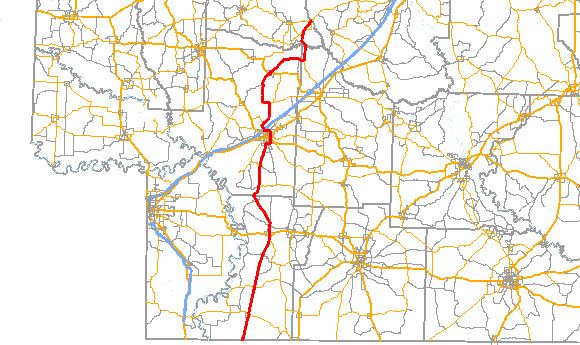
Map of AR-29, Arkansas, USA
Route description
Maintained by the Arkansas State Highway and Transportation Department (AHTD) the route begins at Louisiana Highway 3 at the Louisiana state line. It runs north parallel to the Union Pacific tracks, intersecting AR 160 in Bradley and US 82 in Lewisville. The route runs for 33.8 miles (54.4 km) in Lafayette County before continuing north into Hempstead County. The route has multiple important junctions in Hope. The route meets US 67, US 278, US 371, and Interstate 30 in Hope. The route concurs with US 278 and runs around Hope as Bill Clinton Drive. AR 29 runs for 41.3 miles (66.5 km) in Hempstead County. In Nevada County, the route begins a concurrency with AR 19. The route runs for 3.7 miles (6.0 km) in Nevada County before entering Pike County. AR 29 meets AR 301, before terminating at that same route in Antoine. The 6.7 miles (10.8 km) in Pike County makes the total route length 77.2 miles (124.2 km).
The route terminated at Blevins in 1947.
Hope business route
Arkansas Highway 29 Business is a 3.0-mile-long (4.8 km) business route in Hope. It passes the Missouri Pacific Railroad Depot-Hope and the Ethridge House, both on the National Register of Historic Places. The route was designated after 1962.