
Length 29.9 km | ||
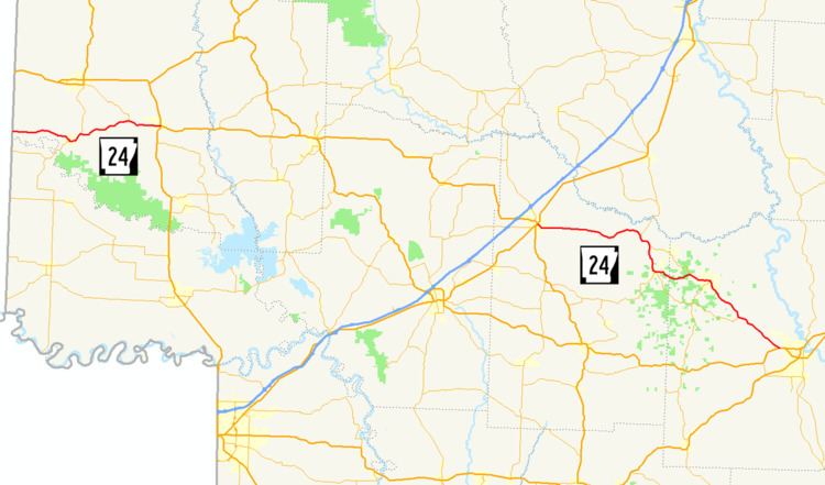 | ||
Arkansas Highway 24 is the designation of two separate state highways in southwest and south central Arkansas. The two sections were formerly connected, but a middle segment of 53 miles (85 km) between Lockesburg and Prescott was redesignated as U.S. Route 371 (US 371) in 1994.
Contents
Map of AR-24, Arkansas, USA
Section 1
Arkansas Highway 24 is a state highway of 18.6 miles (29.9 km) in Sevier County. It runs from Oklahoma east to US 71 in Lockesburg.
Route description
The route begins at the Oklahoma state line as CR E2100 in McCurtain County, Oklahoma and runs east to Horatio. AR 24 has a short concurrency with AR 41 in Horatio, but continues east alone. The route is the southern terminus of AR 329 (a former alignment of US 71) before terminating at US 71 in Lockesburg.
Major intersections
The entire route is in Sevier County.
Section 2
Arkansas Highway 24 is a state highway of 38.2 miles (61.5 km) in Nevada and Ouachita Counties.
Route description
The route begins at U.S. Route 371 in Prescott and runs east through the Prairie D'Ane Battlefield. The route intersects a few minor routes near Bluff City and near White Oak Lake State Park before entering Ouachita County. The route also meets AR 368, which leads to the Poison Springs Wildlife Management Area. AR 24 meets AR 57 in Chidester and AR 76, which runs to Poison Springs Battleground State Park near Bragg Lake. The route continues east past the Richmond-Tufts House and Harvey's Grocery and Texaco Station and terminates at US 278 in Camden. AR 24 has 20.5 miles (33.0 km) in Nevada County and 17.7 miles (28.5 km) in Ouachita County. The route runs through mostly forested areas.