
Existed: 1960 – present Length 16.62 km | West end: Peña Blanca Dam Constructed 1960 | |
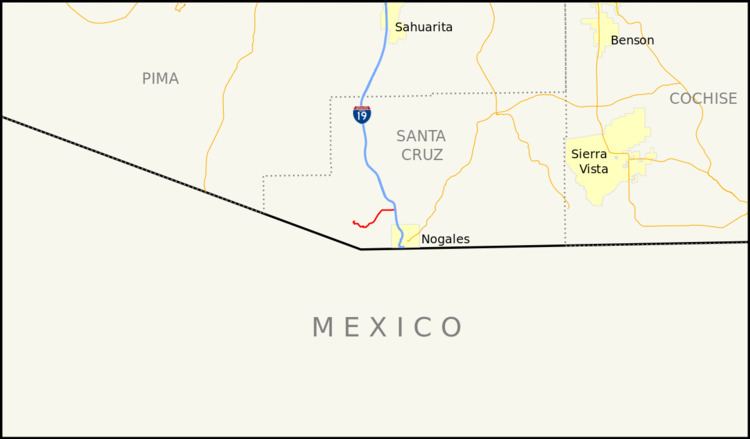 | ||
State Route 289 (SR 289) is a highway in Santa Cruz County, Arizona that runs from its junction with Interstate 19, old U.S. Route 89 to the north of Nogales to Peña Blanca Lake. It is an east–west route.
Contents
Map of AZ-289, Arizona, USA
Route description
SR 289 is a 10.33-mile (16.62 km) highway that runs from I-19 westward to the Pena Blanca Dam, passing through sparsely inhabited territory. It does not pass through any cities or towns and primarily serves as access for recreation at Pena Blanca Lake. From its eastern terminus at I-19, the highway heads in a western direction before curving towards the southwest. The highway eventually curves back towards the west until it turns north towards the lake. There is a Y junction where the road branches off to the lake to the north and a forest road that continues west that connects to a very scenic drive through the Coronado National Forest. This road passes Arivaca Peak, Sycamore Canyon, the ghost town of Ruby and continues west to the town of Arivaca and SR 286. This stretch requires four-wheel drive and there are no services along the entire stretch.
History
An unpaved road existed along the current route since 1935. The route was established as SR 289 in 1960, when it only ran west from US 89 to the Coronado National Forest boundary. The next year, the route was extended westward to Peña Blanca Lake. By 1971, US 89 at SR 289's eastern terminus was replaced by I-19.
Junction list
The entire route is in Santa Cruz County.