
Country France Intercommunality Taravu Area 10.3 km² | Population (2009) 84 Local time Wednesday 5:41 AM | |
 | ||
Weather 5°C, Wind NW at 16 km/h, 65% Humidity | ||
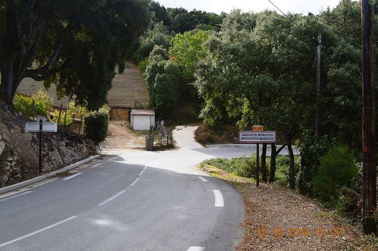
Argiusta-Moriccio is a French commune in the Corse-du-Sud department of France on the island of Corsica.
Contents
- Map of 20140 Argiusta Moriccio France
- Geography
- Administration
- Demography
- Civil heritage
- Religious heritage
- References
Map of 20140 Argiusta-Moriccio, France
Geography
Argiusta-Moriccio is located 6 km north-east of Petreto-Bicchisano and 8 km south-east of Grosseto-Prugna. Access to the commune is by the D757 road from Bicchisano in the south-west passing through the commune and the village and continuing north-east to Olivese. Apart from the village there is the hamlet of Moriccio north-west of the village. The commune is heavily forested and mountainous throughout.
The north-western border of the commune is a river flowing to the west.
Administration
List of Successive Mayors
(Not all data is known)
Demography
In 2009 the commune had 84 inhabitants. The evolution of the number of inhabitants is known from the population censuses conducted in the commune since 1793. From the 21st century, a census of communes with fewer than 10,000 inhabitants is held every five years, unlike larger towns that have a sample survey every year.
Sources : Ldh/EHESS/Cassini until 1962, INSEE database from 1968 (population without double counting and municipal population from 2006)
Civil heritage
The commune has a number of buildings and structures that are registered as historical monuments:
Religious heritage
The Parish Church of Saint Hippolyte and Saint Cassien (1746) is registered as an historical monument. The Church contains many items that are registered as historical objects: