
Named for J. M. Archuleta Founded 1885 Unemployment rate 5.0% (Apr 2015) | Area 3,512 km² Population 12,194 (2013) Cities Pagosa Springs | |
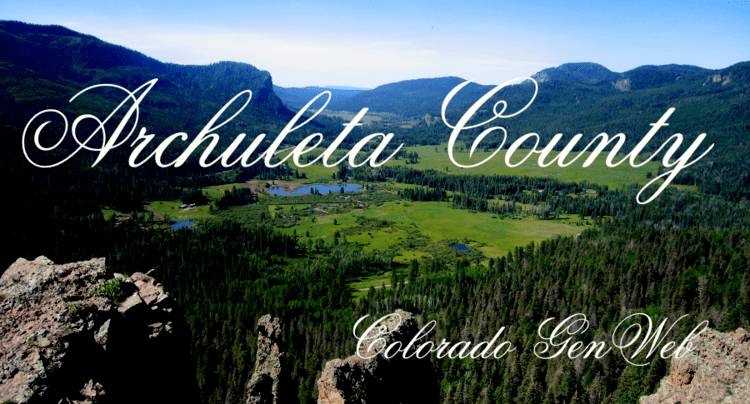 | ||
Website www.archuletacounty.org Rivers San Juan River, East Fork San Juan River, Bear Creek Points of interest Chimney Rock National, Navajo State Park, Reservoir Hill Park, San Juan Historical Museum, Pagosa Springs Town Park | ||
Archuleta County is one of the 64 counties in the U.S. state of Colorado. As of the 2010 census, the population was 12,084. The county seat and the only incorporated municipality in the county is Pagosa Springs.
Contents
- Map of Archuleta County CO USA
- History
- Geography
- Adjacent counties
- National protected areas
- State protected area
- Scenic and historic trails
- Demographics
- Communities
- References
Map of Archuleta County, CO, USA
History
Archuleta County was created by the Colorado legislature on April 14, 1885, out of western Conejos County. It was named for J. M. Archuleta, "head of one of the old Spanish families of New Mexico", and in honor of Antonio D. Archuleta, who was the Senator from Conejos County at the time.
Geography
According to the U.S. Census Bureau, the county has a total area of 1,356 square miles (3,510 km2), of which 1,350 square miles (3,500 km2) is land and 5.3 square miles (14 km2) (0.4%) is water.
Adjacent counties
National protected areas
State protected area
Scenic and historic trails
Demographics
As of the census of 2000, there were 9,898 people, 3,980 households, and 2,873 families residing in the county. The population density was 7 people per square mile (3/km²). There were 6,212 housing units at an average density of 5 per square mile (2/km²). The racial makeup of the county was 88.33% White, 0.35% Black or African American, 1.40% Native American, 0.31% Asian, 0.03% Pacific Islander, 6.97% from other races, and 2.60% from two or more races. 16.76% of the population were Hispanic or Latino of any race.
There were 3,980 households out of which 31.60% had children under the age of 18 living with them, 59.80% were married couples living together, 8.20% had a female householder with no husband present, and 27.80% were non-families. 22.10% of all households were made up of individuals and 6.00% had someone living alone who was 65 years of age or older. The average household size was 2.47 and the average family size was 2.89.
In the county, the population was spread out with 25.30% under the age of 18, 6.30% from 18 to 24, 26.10% from 25 to 44, 30.40% from 45 to 64, and 11.90% who were 65 years of age or older. The median age was 41 years. For every 100 females there were 102.70 males. For every 100 females age 18 and over, there were 99.50 males.
The median income for a household in the county was $37,901, and the median income for a family was $43,259. Males had a median income of $29,521 versus $21,851 for females. The per capita income for the county was $21,683. About 9.00% of families and 11.70% of the population were below the poverty line, including 13.00% of those under age 18 and 6.60% of those age 65 or over.