
Elevation 2,220 m Local time Monday 9:17 AM | Time zone MST (UTC-7) Zip code 81128 | |
 | ||
Weather -2°C, Wind W at 39 km/h, 67% Humidity | ||
Chromo is an unincorporated community and U.S. Post Office in Archuleta County, Colorado, United States. The Chromo Post Office has the ZIP Code 81128.
Contents
Map of Chromo, CO 81147, USA
A post office called Chromo has been in operation since 1885. The community takes its name from nearby Chromo Mountain.
Geography
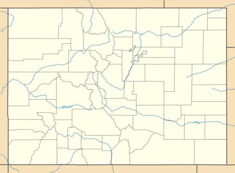
Chromo is located at 37°02′13″N 106°50′36″W (37.036818,-106.843243).
Climate
This climatic region is typified by large seasonal temperature differences, with warm to hot (and often humid) summers and cold (sometimes severely cold) winters. According to the Köppen Climate Classification system, Chromo has a humid continental climate, abbreviated "Dfb" on climate maps.
References
Chromo, Colorado Wikipedia(Text) CC BY-SA