Governing body U.S. Forest Service | Area 642.6 km² Established 1980 | |
 | ||
Management United States Forest Service | ||
South san juan wilderness canejos peak loop
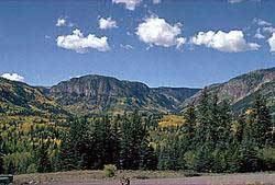
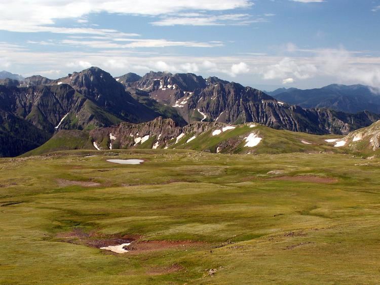
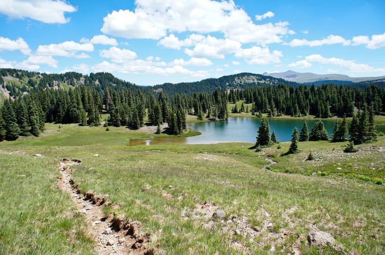
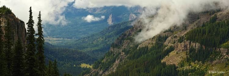
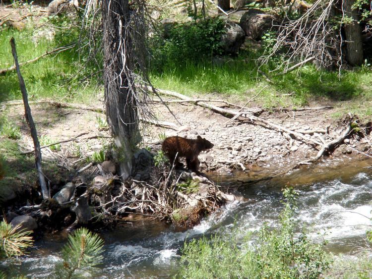
The South San Juan Wilderness is a U.S. Wilderness Area located east of Pagosa Springs, Colorado in the San Juan national forest. The wilderness contains 32 lakes, mountains up to 13,300 feet (4,100 m) above sea level, and 180 miles (290 km) of hiking trails, including 42 miles (68 km) of the Continental Divide Trail. The last known grizzly bear in Colorado was killed in the wilderness in 1979. Many believe that it is still home to a few of the bears, but have not come up with sufficient evidence to prove their existence.
Contents
- South san juan wilderness canejos peak loop
- Backpacking the south san juan wilderness epic loop hike
- Mountains
- References
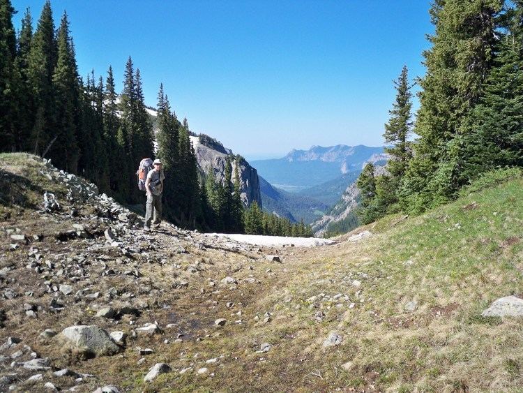
Backpacking the south san juan wilderness epic loop hike
Mountains
The wilderness contains many peaks above 11,000 feet, the highest of which is Conejos Peak at 13,300 feet.
References
South San Juan Wilderness Wikipedia(Text) CC BY-SA
