
Area 24.35 km² Local time Tuesday 1:50 PM | Intercommunality Pays d'Huriel Population 350 (1999) | |
 | ||
Weather 6°C, Wind SW at 31 km/h, 76% Humidity | ||
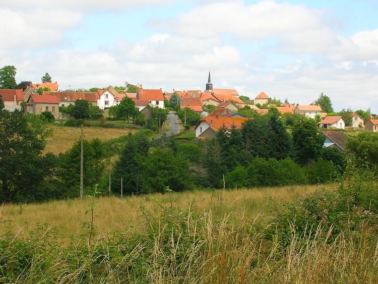
Archignat (occitan Archinhat) is a French commune in the Allier department in the Auvergne-Rhône-Alpes region of central France.
Contents
- Map of 03380 Archignat France
- Geography
- History
- Administration
- Demography
- Distribution of Age Groups
- Sites and Monuments
- Sports and Recreation
- References
Map of 03380 Archignat, France
The inhabitants of the commune are known as Archignacois or Archignacoises.
Geography
Archignat is located some 12 kilometres (7.5 mi) west by north-west of Montluçon and 6 kilometres (3.7 mi) east of Treignat. Access to the commune is by the D916 road from Montluçon in the east passing through the heart of the commune and the village and continuing to Boussac in the west. There are also the D150 road from the village to Chambérat in the north, the D309 road from the village to the south, the D148 road going west to Saint-Sauvier, and the D150 road going south-west towards Saint-Martinien. The railway from Montluçon passes through the commune with a station just south of the village. Apart from two forests in the north-west and south, the commune is entirely farmland.
La Magieure river passes through the commune from west to east passing south of the village with the Ruisseau du Liat flowing from the south into it forming part of the eastern border of the commune. La Meuzelle river forms part of the northern border of the commune flowing north-east.
The highest point in the Arrondissement of Montluçon is located in the commune at a place called Signal de l'Age (Signal of the Ages) (572 metres (1,877 ft)). From here, on a clear day, the towers of Bourges Cathedral to the north and the Chaîne des Puys and the Monts Dore to the south can be seen.
History
The name of Archignat originates from a Latin anthroponym Arcanius (according to Albert Dauzat) or is derived from the oronymic roots cin or Chigne. The form Archiniaco appeared in 1070 and Archignac in the 13th century.
The common resulted from the merger in 1802 of Archignat and Frontenat. Archignat had 758 inhabitants in 1891.
The Terrier de la Mule, 2 kilometres (1.2 mi) from the present town, was the first location of the village: the remains of foundations of a square tower with ditches attest to this assertion but it is not verified.
Administration
List of Successive Mayors
(Not all data is known)
Demography
In 2013 the commune had 347 inhabitants. The evolution of the number of inhabitants is known from the population censuses conducted in the commune since 1793. From the 21st century, a census of communes with fewer than 10,000 inhabitants is held every five years, unlike larger towns that have a sample survey every year.
Sources : Ldh/EHESS/Cassini until 1962, INSEE database from 1968 (population without double counting and municipal population from 2006)
Distribution of Age Groups
Percentage Distribution of Age Groups in Archignat and Allier Department in 2010
Sources: