Length 88 km | ||
 | ||
Main source 8,889 ft (2,709 m) above sea level Borders Galiuro Mountains-NW & SWSanta Teresa Mountains-NEPinaleno Mountains-SE(The Tablelands &Mescal Mountains-NW) | ||
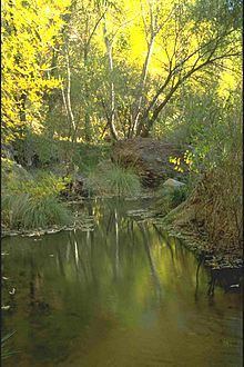
Aravaipa Creek is a major drainage between three mountain ranges in southeast Graham County, Arizona. It is located on the north and northeast perimeter of the Galiuro Mountains massif as it flows northwest then southeast through and around the range's north end to meet the San Pedro River. It drains northwest through the narrow, fault-blocked Aravaipa Valley. The Santa Teresa Mountains border the narrow canyon and valley northeast. The origin of Aravaipa Creek lies southeast in the high altitude Madrean Sky Island range of the sky island Pinaleno Mountains.
Map of Aravaipa Creek, Arizona, USA
The origin is in on the southwest flank of the northern Pinaleno Mountains, at Durkee Canyon, and Blue Peak at 8,889 feet (2,709 m).
Aravaipa Canyon at the north end of the Galiuro's contain the Aravaipa Canyon Wilderness. The creek goes northwest then southeast through the canyon and downstream about 9 miles (14 km) to meet the San Pedro River, and Arizona State Route 77.
