
Elevation 7,663 ft (2,336 m) Width 15 mi (24 km) State Arizona District Graham County, Arizona | Length 55 mi (89 km) NW-SE Country United States District Pinal County, Arizona | |
 | ||
Region Madrean Sky Islands
((northeast)-Sonoran Desert) Similar Pinaleno Mountains, Chiricahua Peak, Miller Peak, Mount Glenn, Carr Peak | ||
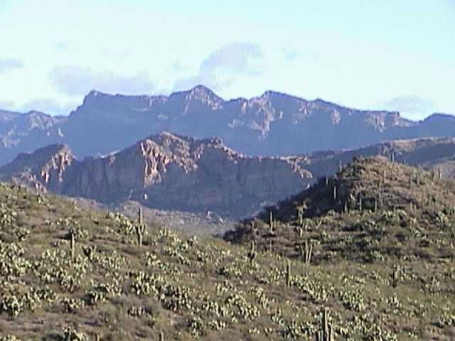
The Galiuro Mountains are a large sky island mountain range of southeast Arizona, USA. It is a northerly mountain range in the Madrean Sky Islands region of southeast Arizona, northern Sonora in northwestern Mexico, and the extreme southwest (the "bootheel") of New Mexico.
Contents
Map of Galiuro Mountains, Arizona 85643, USA
The range is noted for its height and ruggedness. The Aravaipa Canyon Wilderness encompasses the north perimeter of the range, and the large Galiuro Wilderness covers the central-south. To the south, the Galiuro Wilderness borders the Redfield Canyon Wilderness. A river valley borders the range to the southwest, and Aravaipa Creek and Valley border its northeast.
Range overviewEdit
The Galiuro Mountains are a northwest-southeast trending range. The moderately wide San Pedro Valley and River border its southwest, abutting the northeast of the large sky island Santa Catalina Mountains range. The more narrow canyon northeast is the Aravaipa Valley with Aravaipa Creek.
Mammoth, Arizona, northeast of Tucson and Oracle, is the closest city to the range on its northwest.
Peaks and landformsEdit
The highest peak of the range is Bassett Peak at 7,663 feet (2,336 m). Other peaks from north-to-south: Black Butte at 4,573 feet (1,394 m), Sixtysix Peak, Mescal Peak, Horse Mountain at 6,225 feet (1,897 m), Maverick Mountain at 7,003 feet (2,135 m), China Peak, Topout Peak, Kennedy Peak at 7,549 feet (2,301 m), Sunset Peak, Bassett Peak at 7,663 feet (2,336 m), and Saddle Mountain at 6,167 feet (1,880 m).