
Length 20.8 km (12.92 mi) Area 145 km² | Width 10.7 km (6.65 mi) Administrative subdivision Tuamotus Island group Tuamotus | |
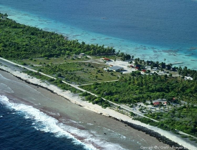 | ||
Aratika is an atoll in the Tuamotu group in French Polynesia. The nearest land is Kauehi Atoll, located 35 km to the south east.
Contents
Map of Aratika, French Polynesia
Aratika has an unusual butterfly shape. Its length is 20.8 km2 (8.0 sq mi) and its maximum width 10.7 km2 (4.1 sq mi) . It has a land area of approximately 8.3 km2 (3.2 sq mi) . The lagoon is wide and deep, and can be entered by two navigable passes.
Aratika had 160 inhabitants in 2012. The main village is called Paparara.
History
Aratika appears in some maps as "Carlshoff Island". This atoll was visited by the Charles Wilkes expedition on September 3, 1839. Prior to the pearl market slump at the turn of the century, Aratika was home to about 2000 people, thereafter dropping to about 200.
Aratika has a private airfield which opened in 1998 and is owned by the Fourcade company. Much of the island's main infrastructure, including the school in 2004 and many business from Paparara village were moved there due to ease of access to and from the airstrip.
The population number has been slowly declining and halves when the children go to school from the age of 11 as there is only a primary school on the island which has one class for 3-11 year olds.
Administration
Aratika Atoll belongs to the commune of Fakarava, which consists of Fakarava, as well as the atolls of Aratika, Kauehi, Niau, Raraka, Taiaro and Toau.