
Time zone EAT (UTC+3) Local time Tuesday 7:55 AM | Elevation 1,080 m | |
 | ||
Weather 18°C, Wind SE at 5 km/h, 100% Humidity | ||
Arapai is a settlement in Eastern Uganda. It is a suburb of the town of Soroti, in Soroti District, in the Teso sub-region.
Contents
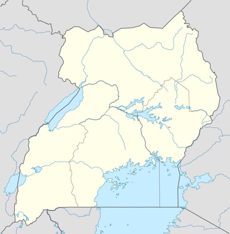
Map of Arapai, Uganda
Location
Arapai is located approximately 8 kilometres (5.0 mi), by road, north of the central business district of the town of Soroti, on the road between Soroti, in Soroti District and Amuria in Amuria District. This location is approximately 245 kilometres (152 mi), by road, northeast of Kampala, Uganda's capital city and largest metropolitan area. The coordinates of Arapai are:1° 46' 48.00"N, 33° 37' 30.00"E (Latitude:1.7800; Longitude:33.6250).
Population
As of December 2013, the exact population of Arapai is not publicly known.
Points of interest
The following points of interest are found in or near Arapai:
References
Arapai Wikipedia(Text) CC BY-SA