
Local time Wednesday 10:59 AM | Elevation 1,200 m | |
 | ||
Weather 29°C, Wind E at 14 km/h, 45% Humidity | ||
Launch of trac fm radio talkshow in amuria uganda
Amuria is a town in the Eastern Region of Uganda. It is the chief municipal, administrative, and commercial center of Amuria District, in the Teso sub-region.
Contents
- Launch of trac fm radio talkshow in amuria uganda
- Map of Amuria Uganda
- Location
- Population
- Points of interest
- References
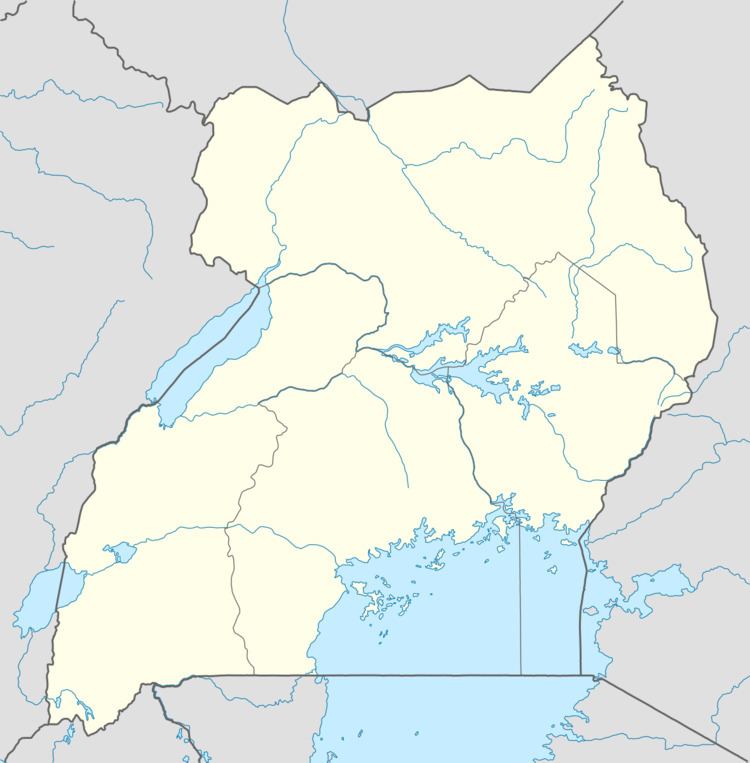
Map of Amuria, Uganda
Location
Amuria is located approximately 44 kilometres (27 mi), by road, north of Soroti, the largest town in the sub-region. This is approximately 280 kilometres (170 mi), by road, northeast of Kampala, the capital of Uganda and its largest city. The coordinates of the town are:2°01'48.0"N, 33°38'35.0"E (Latitude:2.0300; Longitude:33.6431).
Population
In 1991, the national population census estimated the town's population at 2,600. In 2010, the Uganda Bureau of Statistics estimated the population at 5,000. In 2011, UBOS put the population at about 5,400.
During the first decade of the 2000s, the population of the town has fluctuated from as low as 4,500 to as high as 30,000. There are several factors that have contributed to the rapid increase in the population of the town, including the following:
- The activities of the Lord's Resistance Army forced the population out of the villages into the town due to better security in urban areas.
- The Karamojong attack the villages in Amuria District to steal cattle and harm anyone who attempts to stop them. The villagers in the neighboring villages move closer to town to avoid the wrath of the cattle rustlers.
- The congregation of many people in IDP camps, who are not related by blood and who are idle for the most part, leads to increased sexual activity, increased birth rates and a rapid expansion in the population.
- In mid-2007, the LRA ceased activity in Uganda and moved away to the Democratic Republic of the Congo, but the Karamojong have continued with their cattle raids.