
Terminus Talus/proglacial lake Area 16 ha | Thickness 15 ft (4.6 m) Status Retreating | |
 | ||
Length .25 mi (0.40 km) long and .50 mi (0.80 km) wide Similar North Arapaho Peak, Arapaho Pass, Rocky Mountains, Fourth of July Trailhead, Isabelle Glacier | ||
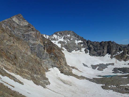
Arapaho Glacier is an alpine glacier in a cirque immediately southeast of North Arapaho Peak, in Roosevelt National Forest in the U.S. state of Colorado. The glacier is just east of the Continental Divide. Arapaho Glacier is the largest glacier in the state of Colorado and helps provide water for the city of Boulder, Colorado. The glacier has a negative glacier mass balance and lost 52% of its surface area during the 20th Century.
Map of Arapaho Glacier, Colorado 80466, USA
References
Arapaho Glacier Wikipedia(Text) CC BY-SA