
Topo map USGS Arnold Valley Prominence 864 m Easiest route Hiking | Elevation 1,287 m | |
 | ||
Similar The Priest, Salt Pond Mountain, Twelve O'clock Knob, Elliott Knob, Richland Balsam | ||
Apple Orchard Mountain is a peak of the Blue Ridge Mountains in Virginia.
Map of Apple Orchard Mountain, Peaks, VA 24523, USA
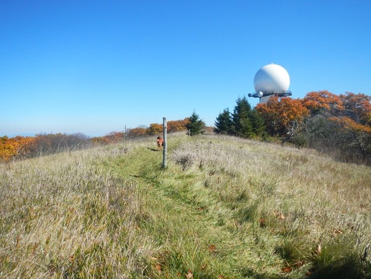
Located in Jefferson National Forest, Apple Orchard Mountain is the county highpoint for both Bedford County and Botetourt County, Virginia as well as the highest point on the Blue Ridge Parkway in Virginia. It is also the most topographically prominent mountain in the state. The summit is open, and an FAA radar stands nearby. This radar stand makes the mountain recognizable from miles away.
References
Apple Orchard Mountain Wikipedia(Text) CC BY-SA