
Country Algeria Elevation 288 m (945 ft) Population 21,723 (2008) | District Aoulef Time zone CET (UTC+1) Local time Monday 9:34 AM | |
 | ||
Weather 16°C, Wind NE at 21 km/h, 36% Humidity | ||
Aoulef (Arabic: أولف, Awlaf) is a town and commune and capital of Aoulef District, in Adrar Province, south-central Algeria. According to the 2008 census it has a population of 21,723, up from 15,229 in 1998, with an annual growth rate of 3.7%.
Contents
Map of Aoulef, Algeria
Geography
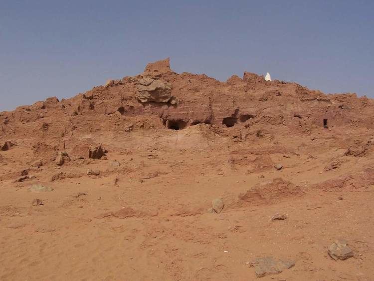
The town of Aoulef lies at an elevation of 288 metres (945 ft) on the eastern side of an oasis. The oasis is a part of the Tidikelt region of the central Sahara that extends from central eastern Adrar Province (where Aoulef is located) to northeast Tamanrasset Province around In Salah. The oases in this region are sparser than in the Tuat and Gourara regions in which most of the population of Adrar Province live, but there are still a number of towns such as Timokten, Akabli, Tit and In Ghar. The nearby land is mostly flat aside from some small hills to the east; however further north the land rises to the Tademaït plateau.
Climate
Aoulef has a hot desert climate (Köppen climate classification BWh), with long, extremely hot summers and short, very warm winters. Daytime temperatures are known to consistently approach 50 °C (122 °F) in summer and nighttime temperatures routinely remain above 30 °C (86 °F). Average annual rainfall is extremely low, with only 10 mm (0.39 in). The sky is nearly always clear throughout the year and cloudy days are extremely rare. Aoulef is often quoted as one of the hottest spots worldwide.